|
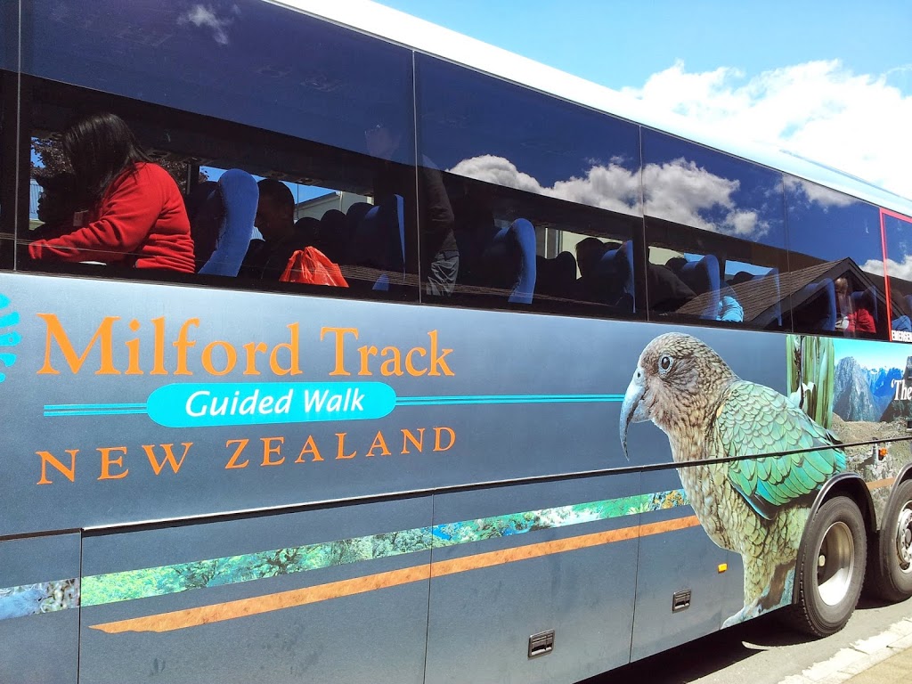
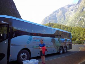
| Custom bus, Queenstown to Lake Te Anau |
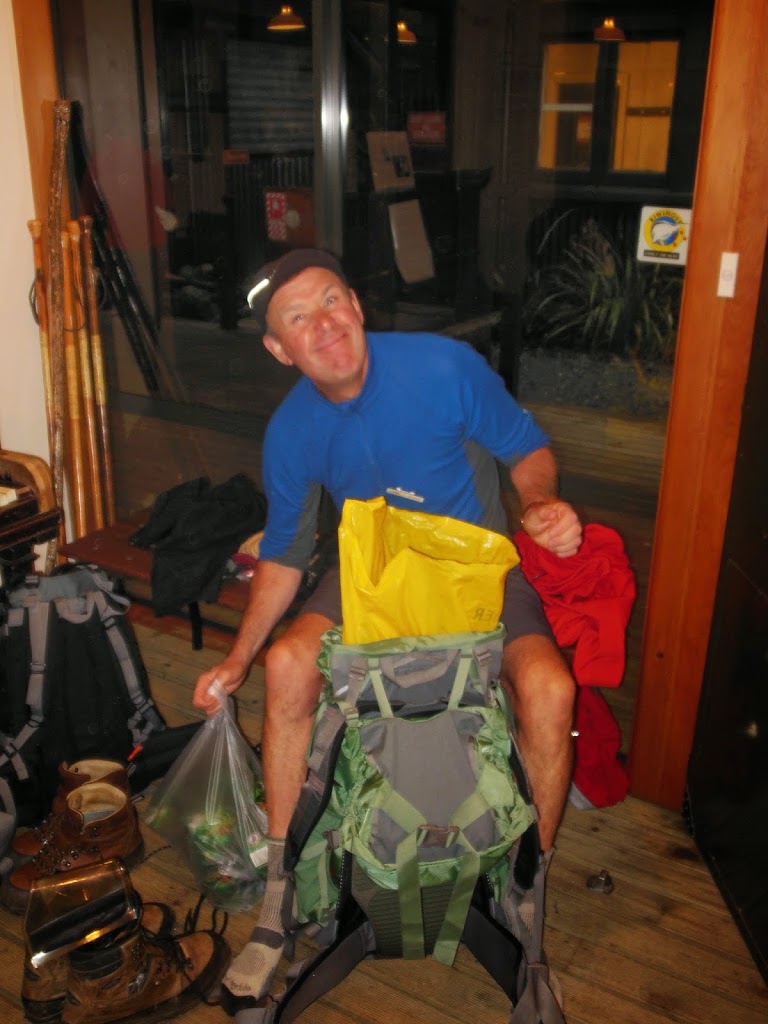
So, onward to conquer the Milford Track…or, maybe not. First though, a confession. I’ve hiked backcountry all over the planet for over 30 years. Everywhere from Alaska to the Andes. Slept in a lot of rainy, muddy places and ate marginal food while swatting flies. Loved almost every minute of it too. But now in my mid-fifties, for once I have more $$ than time and knee cartilage. I now say if someone offers you a dry bed, hot shower and a grilled lambchop in the absolute wilderness, just say ” Thank you sir, may I have another…?”
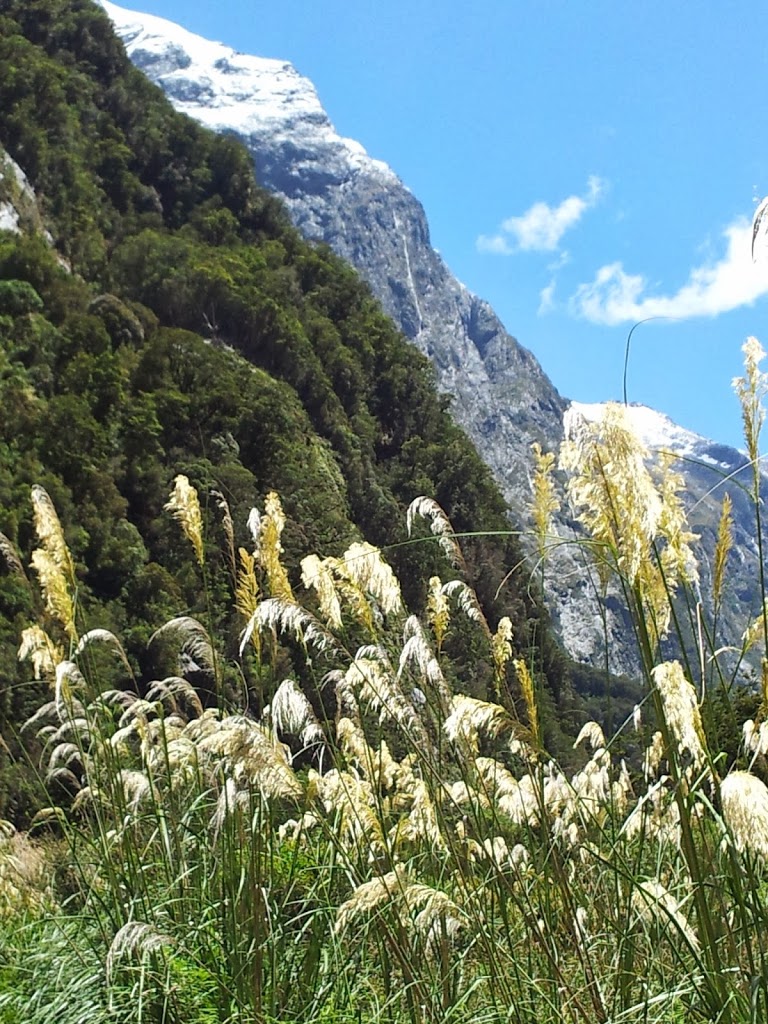
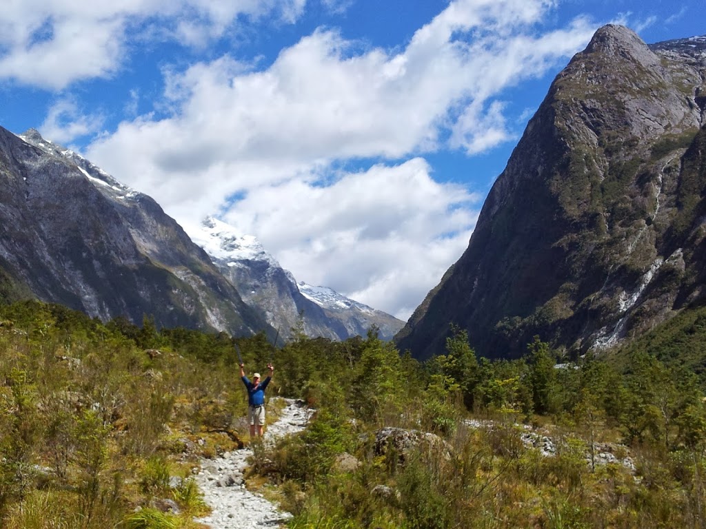
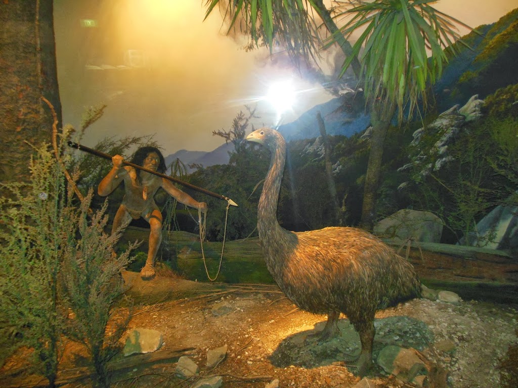
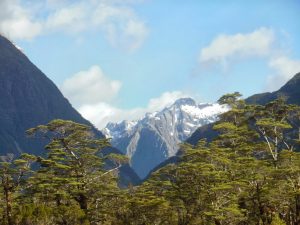
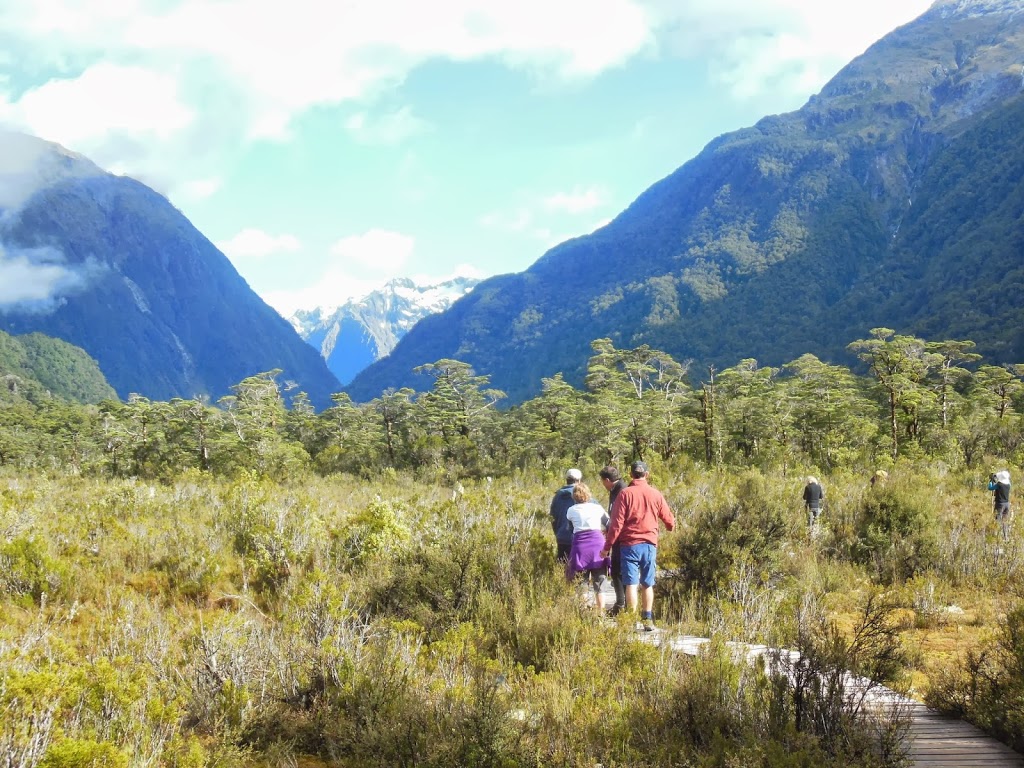
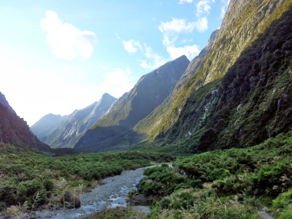
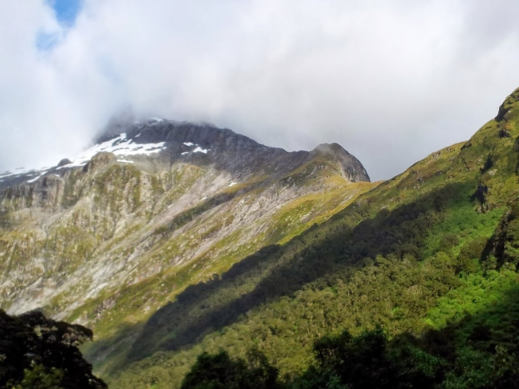
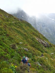
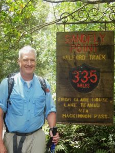
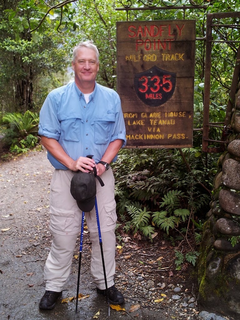
The Milford is considered one of the most beautiful multi-day hikes in the world. As you’ll see, the way it’s laid out builds the excitement gradually, culminating in a challenging 1000 ft ridge hike and then a long slog out. It covers around 35 miles, with most of the hiking occurring over three 10-13 mile days. The Fiordland region of SW New Zealand is a vast temperate rain forest, and World Heritage area. It’s so remote that the Tekahe, a large, blue, flightless bird (pictured below) was recently rediscovered in the forested mountains, after being considered extinct
for over fifty years!
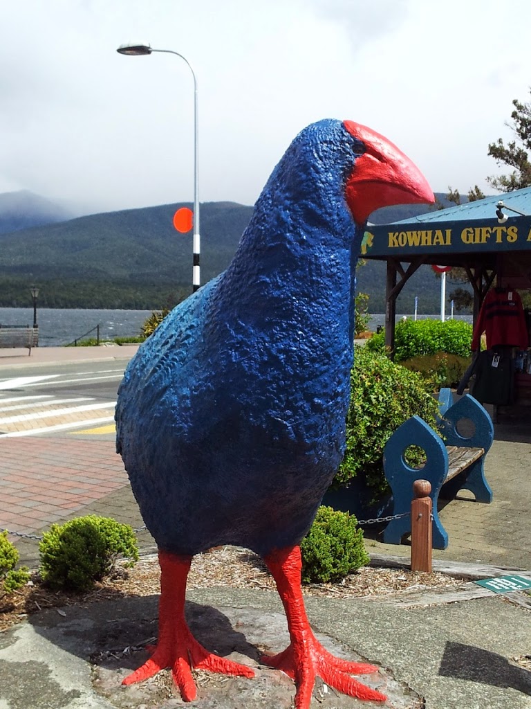 |
| A model of a Tekahe, thought extinct for years |
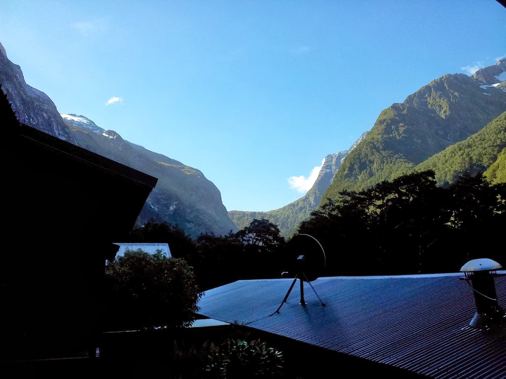
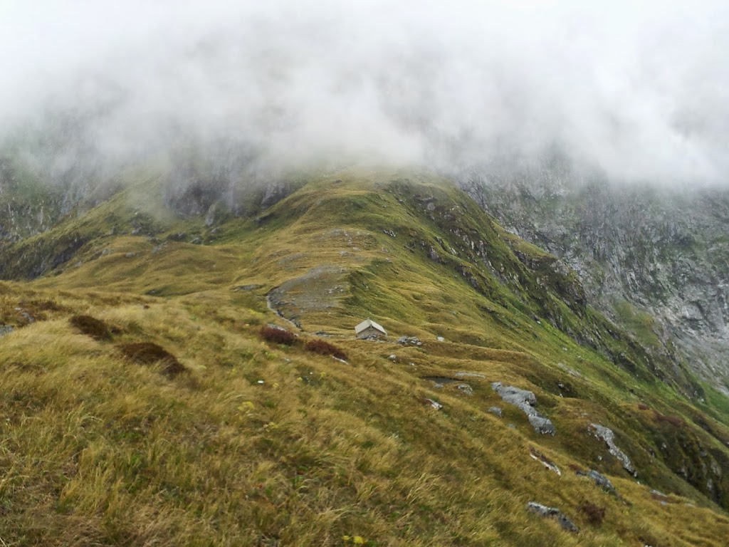
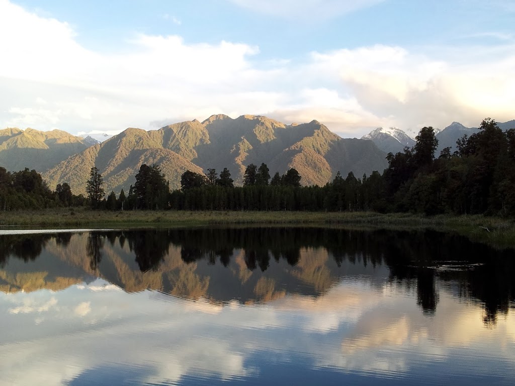
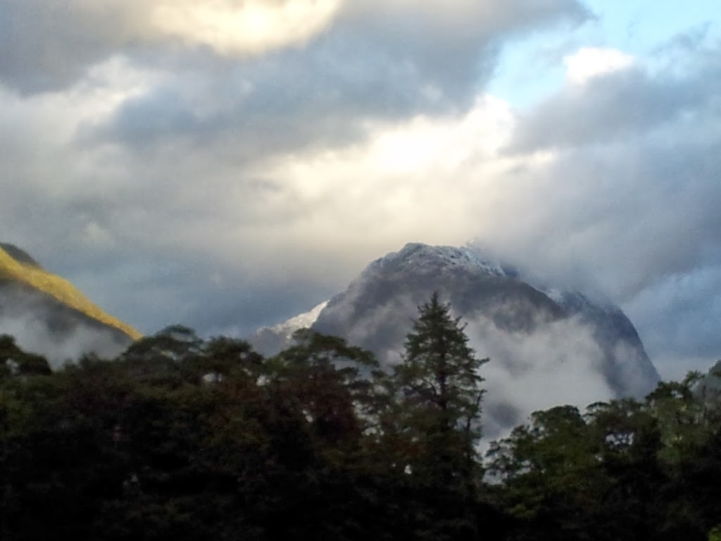 |
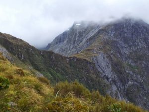
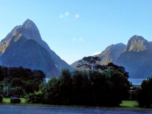
| First evening misty mountains from Glade House |
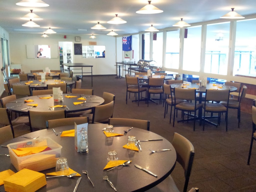
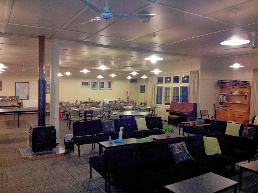 |
| Glade House lounge and dining room |
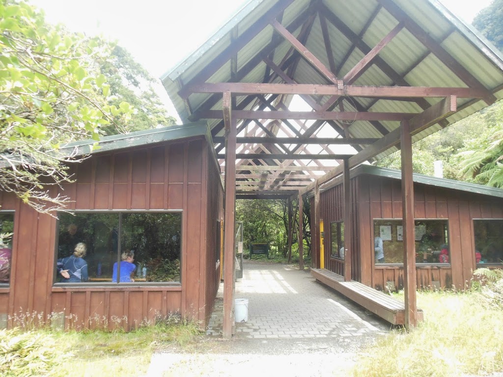
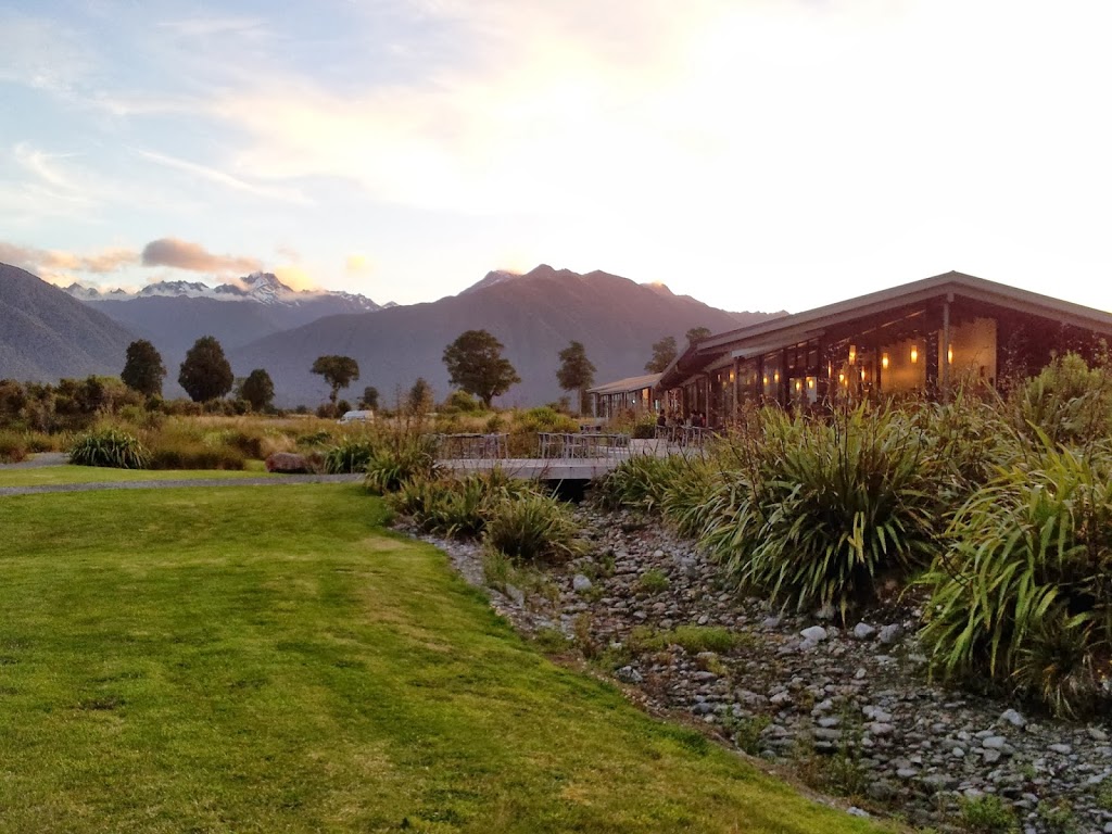
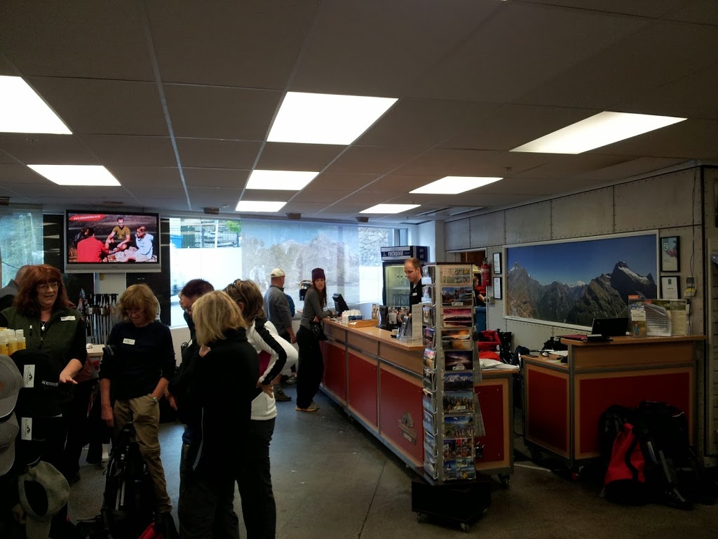
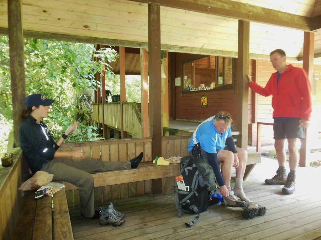
The Milford is really popular, but still remote. You have to drive 3 1/2 hours south from Queenstown, and take a ferry down Lake Te Anau for 1 1/2 hrs just to get to the trailhead. There are public cabins, but permits need to be booked a year in advance, as weather closes the track for 6 months every year. Ultimate Hikes is the only private company on the track. For a very fair price they arrange all permits and transpo, provide private bunkrooms with hot showers and real beds, and provide all food for four nights and five days. For me, a first-timer to NZ, it was the way to go. PS: you still have to put in the hard miles, though with a lighter pack.
 |
| Glade House Museum |
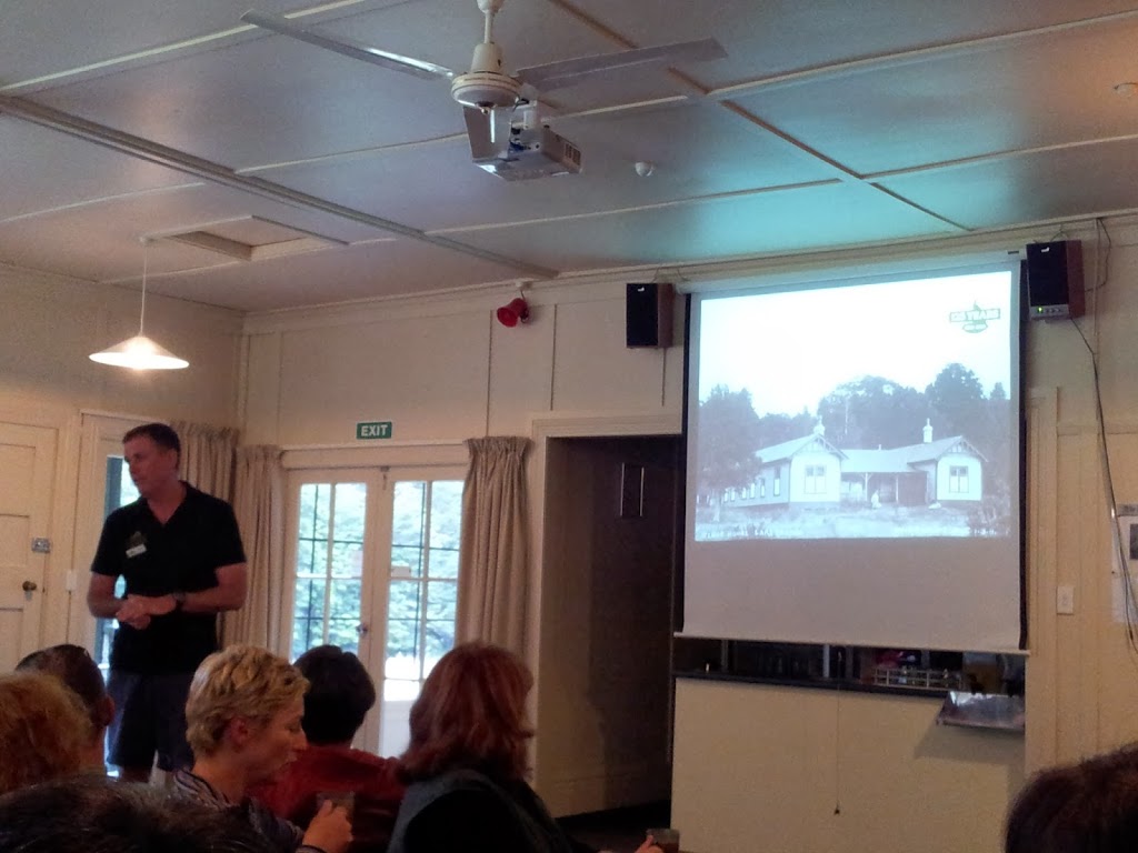 |
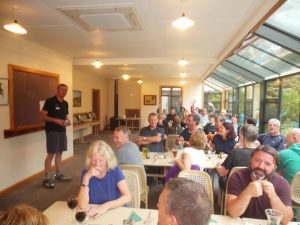
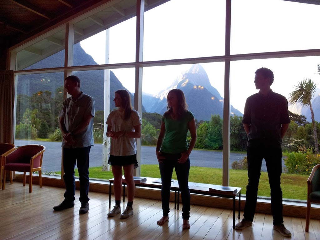
| Steve leading the post dinner orientation |
 |
| Local NZ Venison Stew…Yum….! |
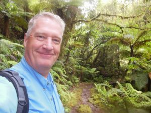
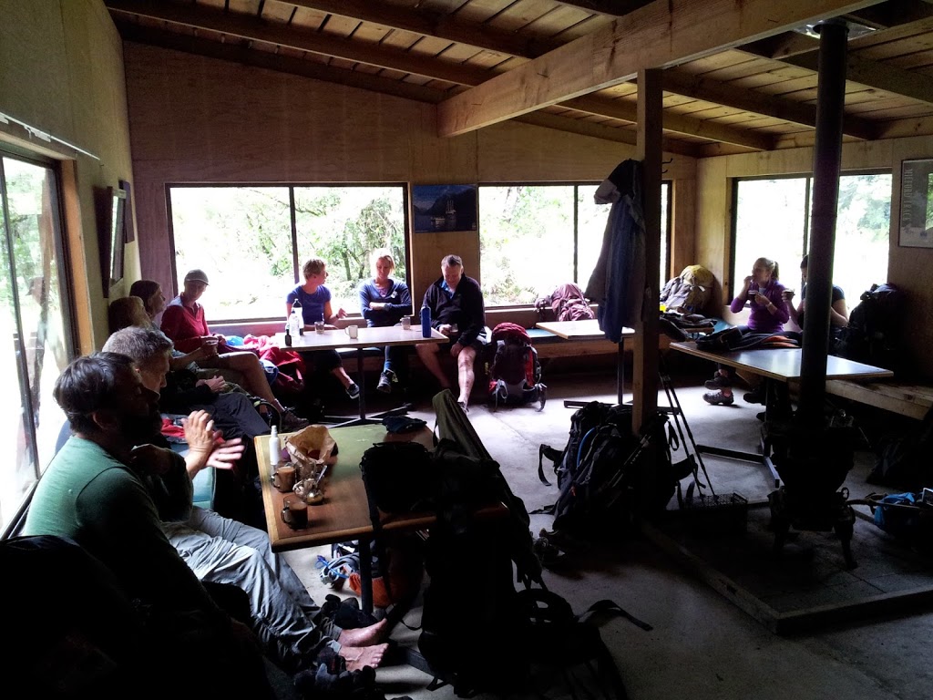
A really great feature were the friendly, knowledgeable guides. Every evening held an informative talk on the day’s events, local history, flora/fauna and a preview of the next morning’s challenges.
 |
| Lead guide Steve heading out on Day ##2 |
 |
| Clinton River at Glade House |
I seem to have lost my photos of the ferry ride, but it was a pretty wild and windy affair; with whitecaps and angry grey cloud-cover overhead as we headed down lake and into the impressively steep and brooding alpine mountains. Very reminiscent of the Alaskan panhandle around Sitka for me. Towards evening, the ceiling lifted somewhat, and we had high hopes of better weather and visibility by morning.
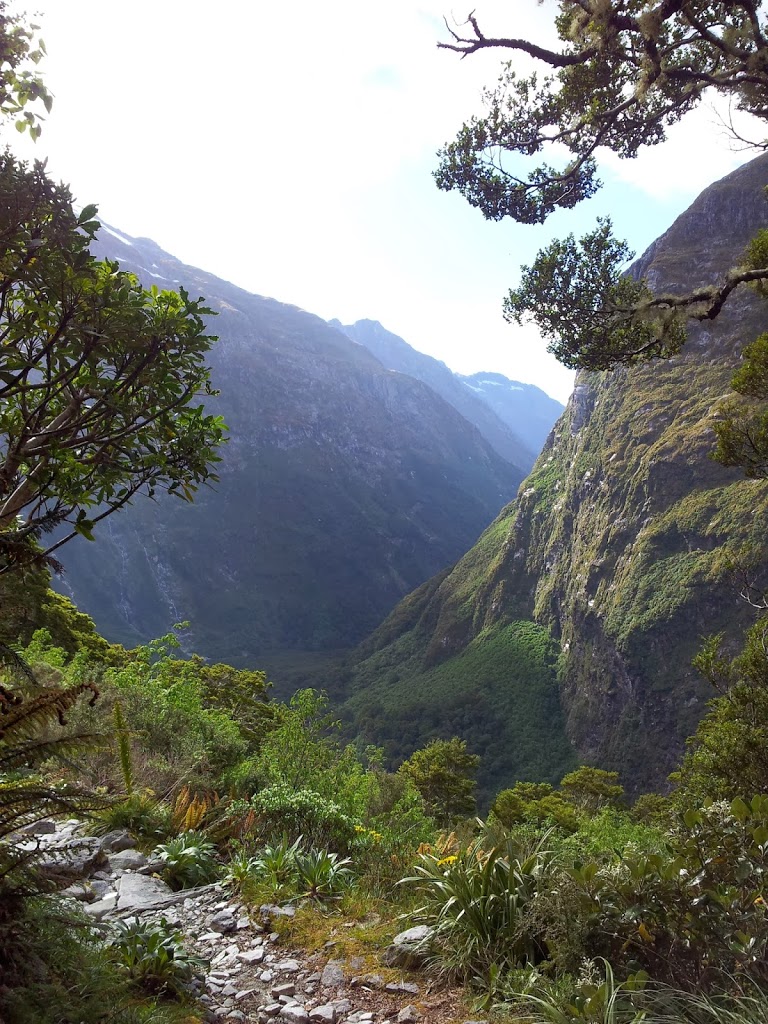
 |
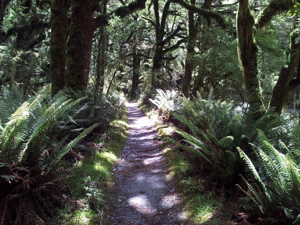
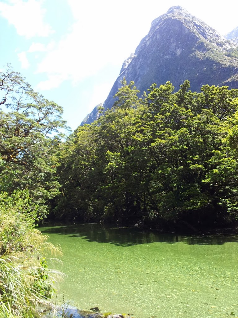
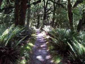
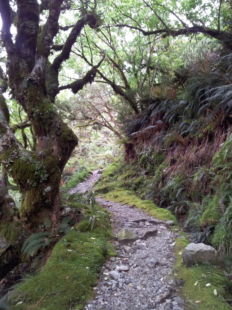
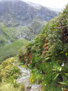
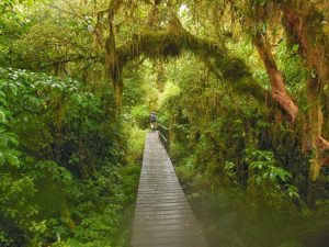
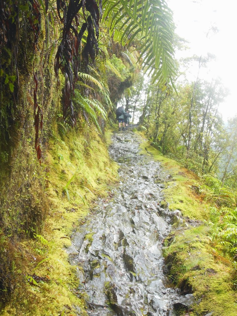
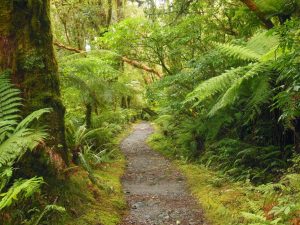
| A deep, green world…. The trail ahead. |
 |
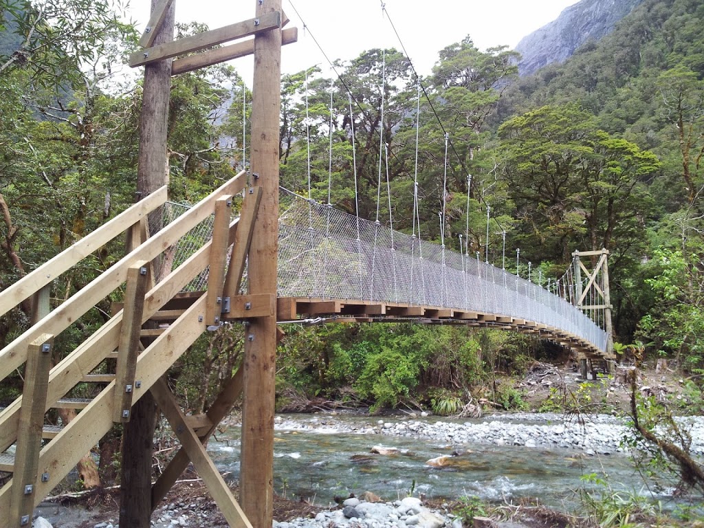
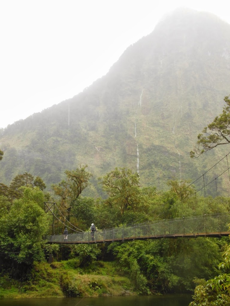
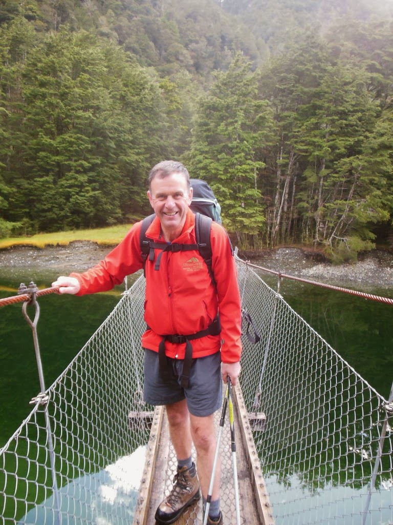
| An iconic NZ swing bridge |
 |
| Clearing skies…! |
 |
| Exploring a sphagnum bog |
 |
| New life reaching upwards |
 |
| Heading up the Clinton River |
 |
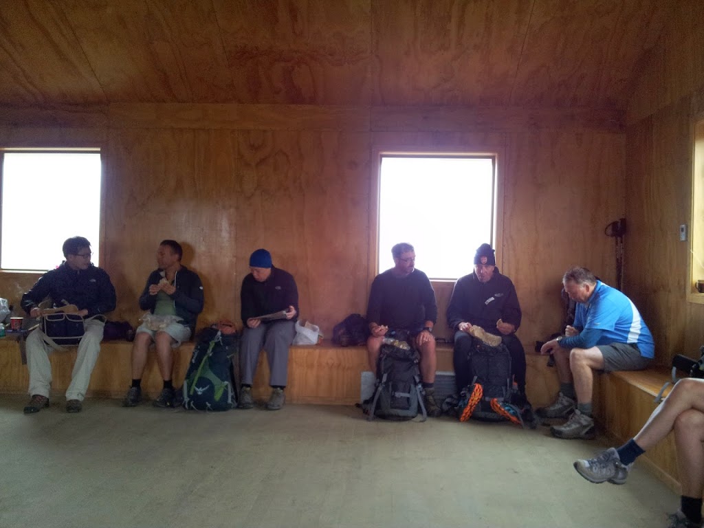
| Snacks and blister check |

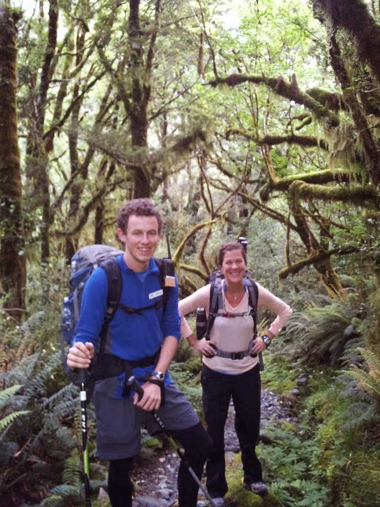
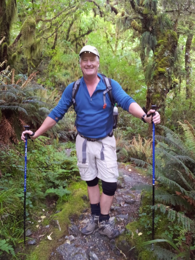
An interesting aspect of a group hike was to meet people from all over the world and hear their stories. Fifty strangers all working towards the same goal, for many different reasons. The esprit de corps was high and over five challenging days, bonds and memories were forged. Another nice feature of the Milford is that it’s a one way trail. Once you got into your groove, you hardly saw anyone else all day long except at rest stops. No “trail etiquette” required working past oncoming groups…Very chill indeed….
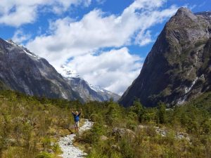 |
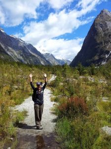
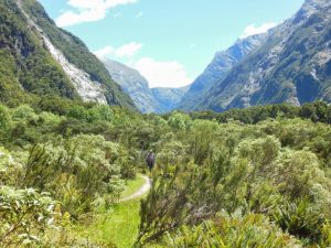
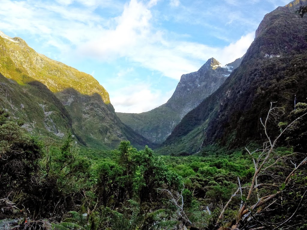
| Feeling the freedom in the sublime Clinton Valley |
 |
| Maddie, a nurse from Maine, working in Sydney |
 |
| Pristine water, all drinkable without treatment |
 |
| Up into the “Prairie” |
 |
| Higher into the valley, timber thinning out |
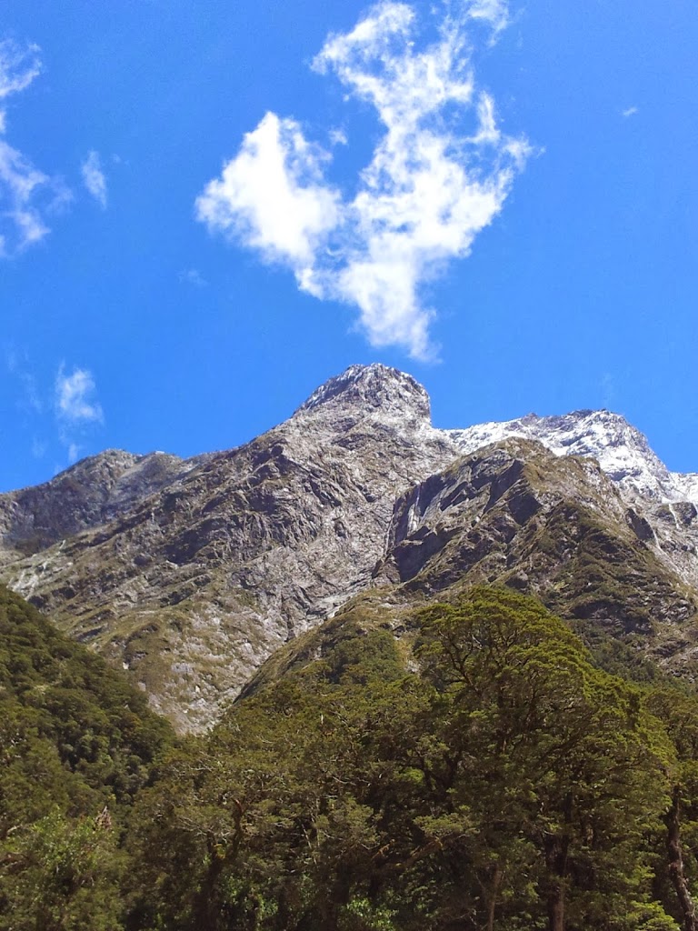 |
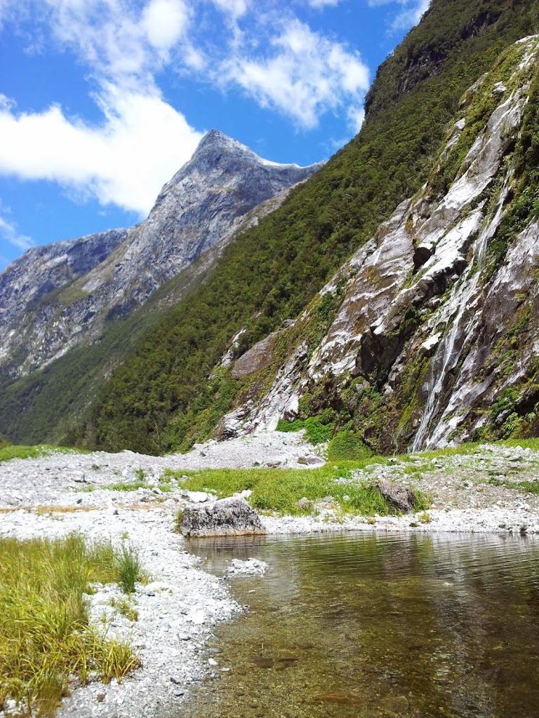
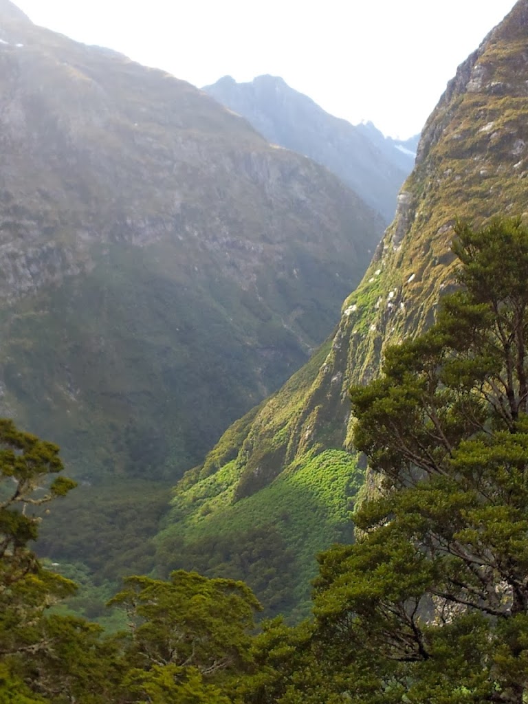
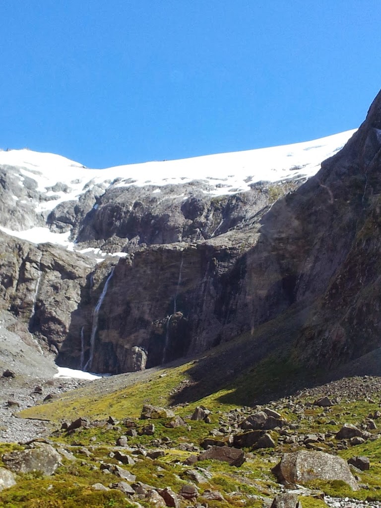
| Peaks tower 4000 ft overhead on both sides of the valley |
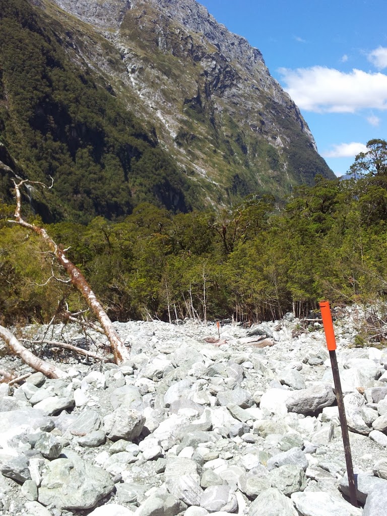 |
| Crossing avalanche talus rubble |
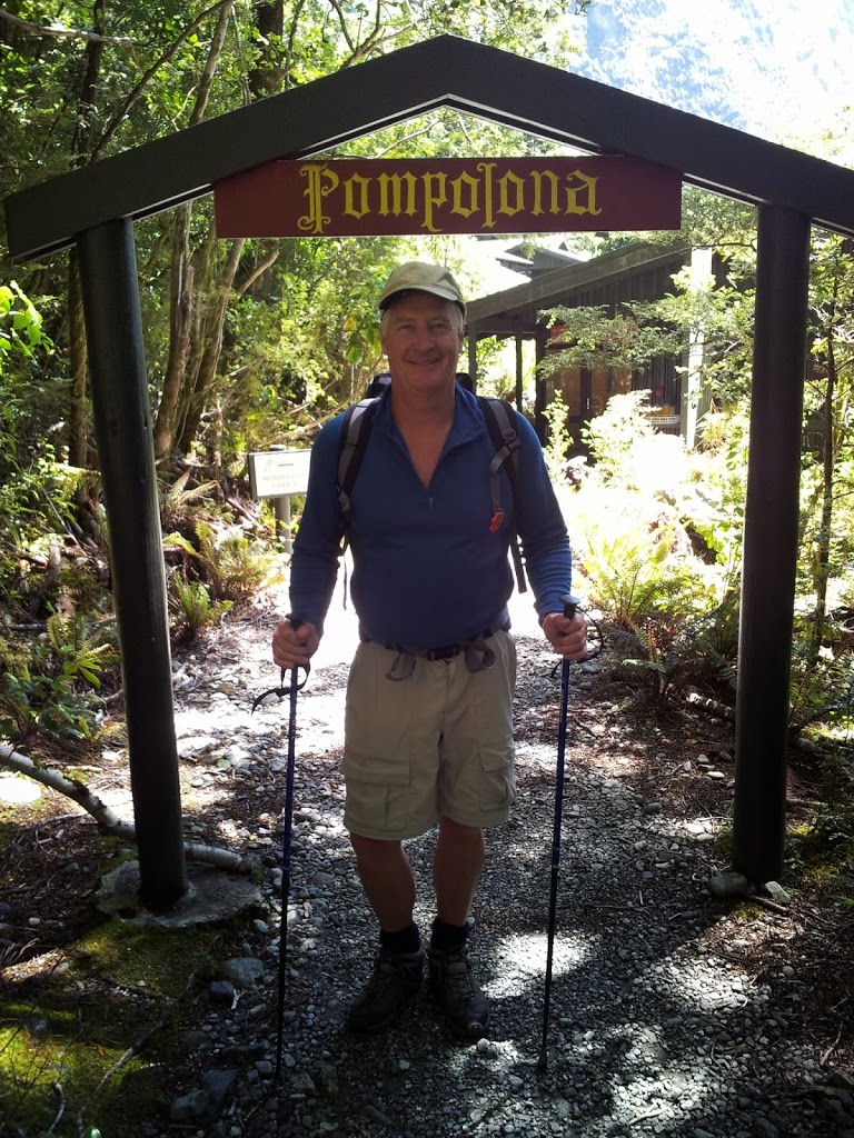
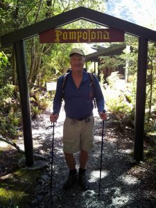 |
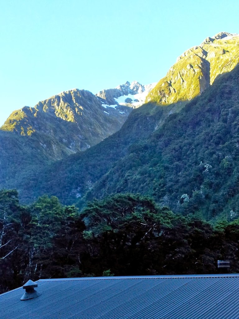
| Pompolona Lodge, ten miles in |
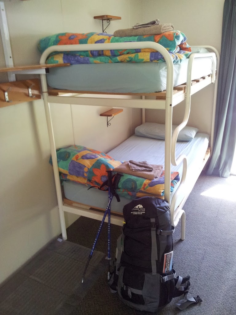 |
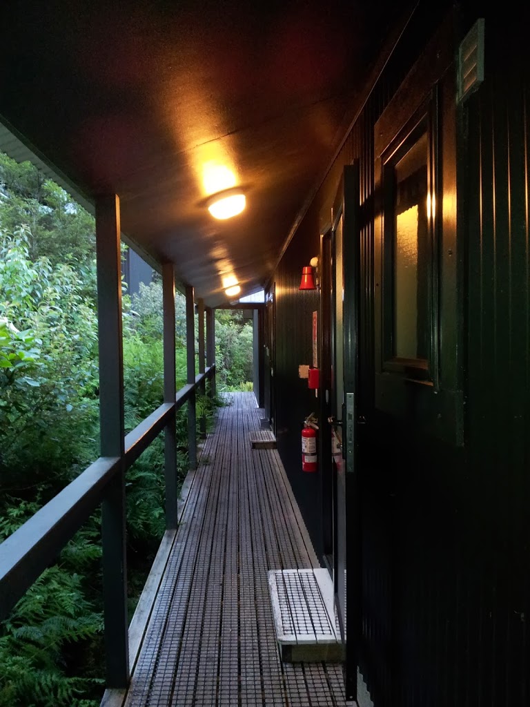
| Clean and dry. Spartan, but beats a tent! |
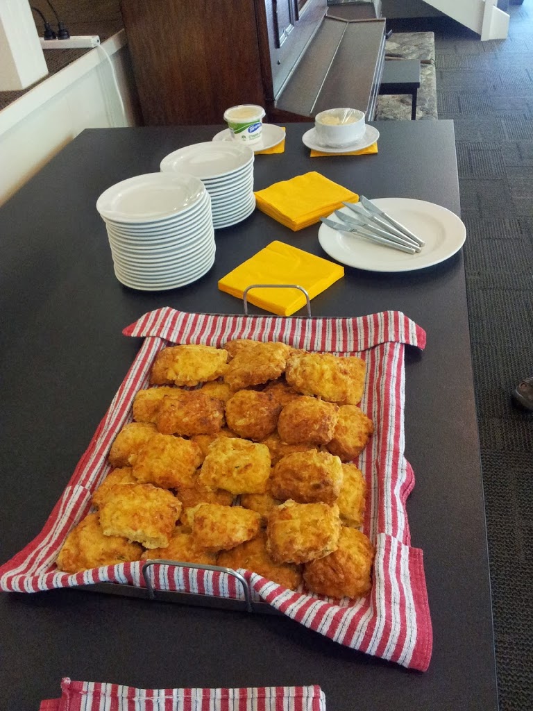 |
| Fresh scones to greet you |
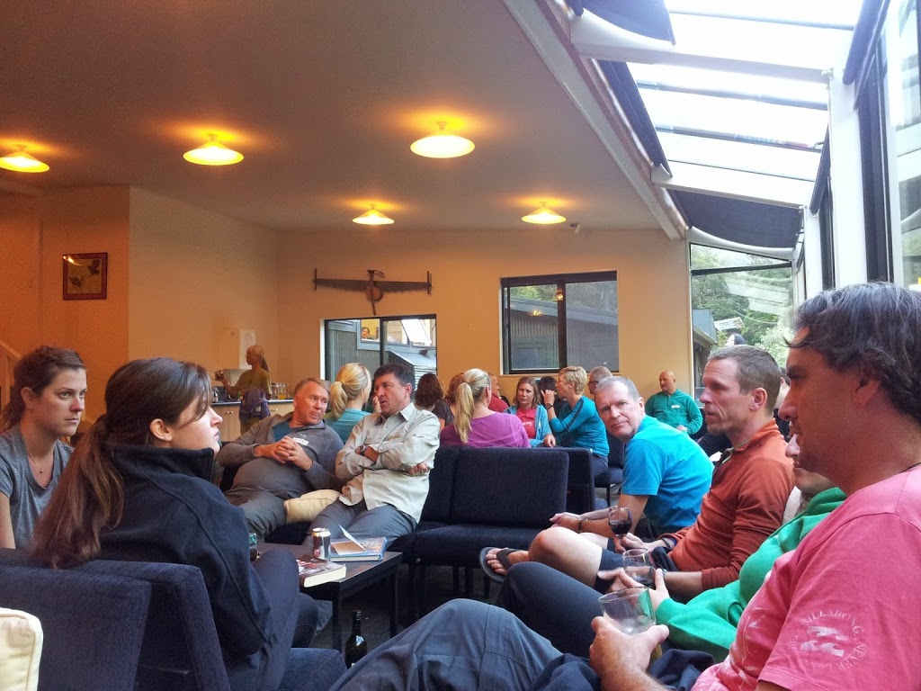 |
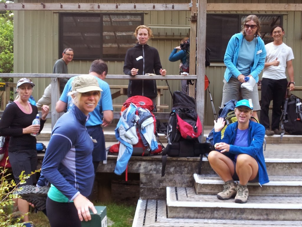
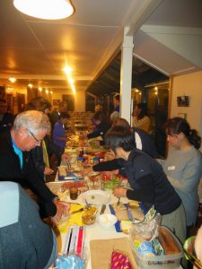
| Pre-dinner cocktail hour. Sharing stories of the trail |
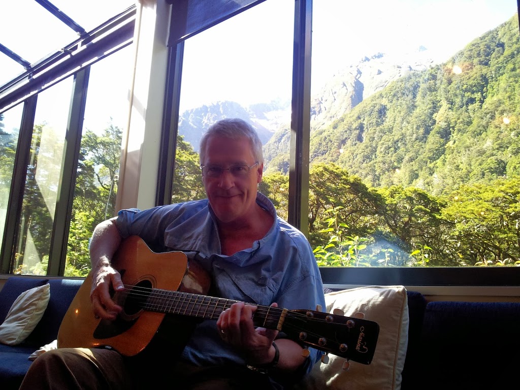 |
| Guitars even..! |
 |
| Pompolona twilight, night #2 |
 |
| Lights out, big day tomorrow. |
 |
| The way ahead, morning day #3 |
 |
| Looking back down valley |
 |
| Guide Andrew and Maddie setting the pace |
 |
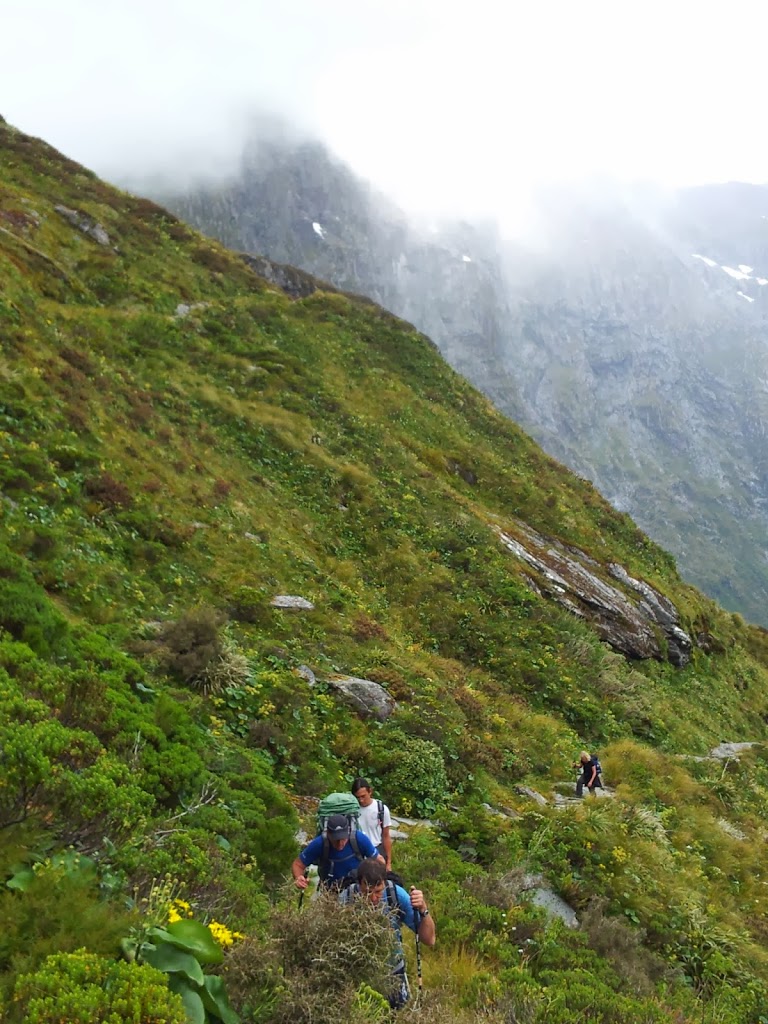
| Approaching Mackinnon Pass |
 |
| Adjusting gear before heading over the pass |
 |
| Mackinnon Pass to the right |
 |
| Pass trail winding higher |
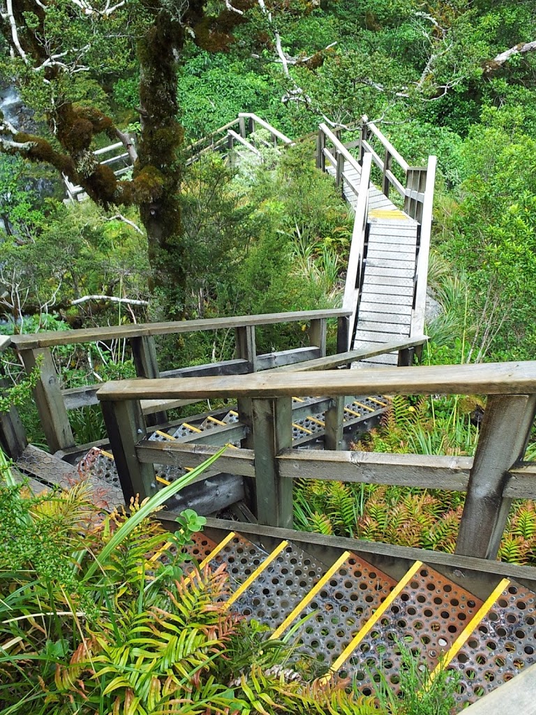
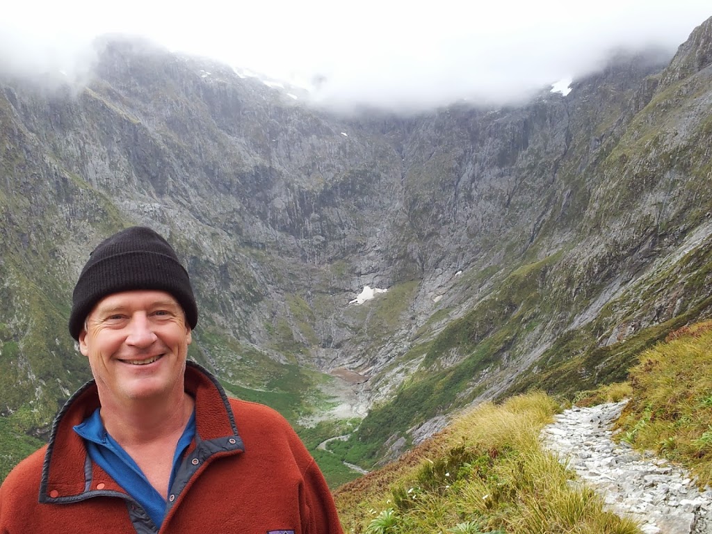
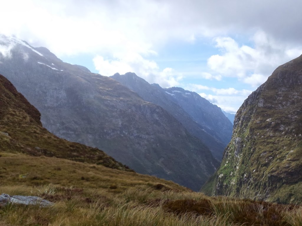
As a marquee hiking destination, the trails, bridges and shelters along the Milford are maintained to a world-class standard. The public shelters are placed a mile or so beyond the Ultimate Hike’s, so you never encounter the folks ahead of you. The entire experience feels authentic, uncrowded and pristine. No fires or camping are allowed on the track and hikers must keep moving every day.
 |
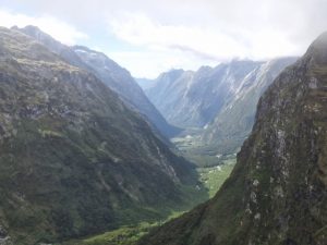
| Looking down into Clinton Valley, the way we’ve come. |
 |
| In the groove and feelin’ good… |
 |
| Mt. Cook Lily |
 |
| Moving higher, above timberline |
 |
| Getting “rugged up” in the alpine weather |
 |
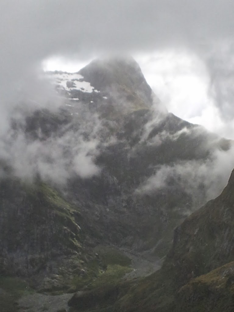
| Clearing skies in the pass, pretty rare… |
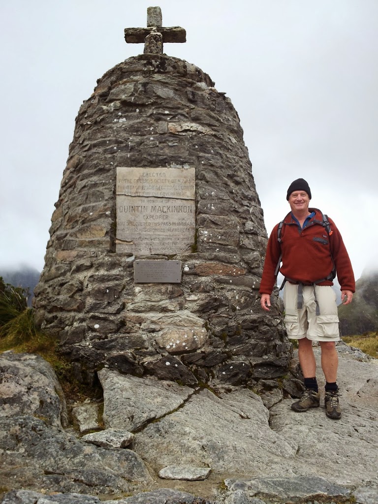 |
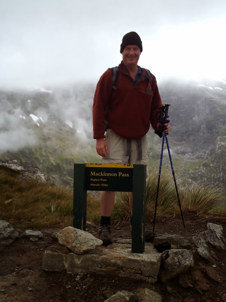
| Mackinnon Memorial at the pass, built in 1912 |
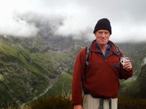 |
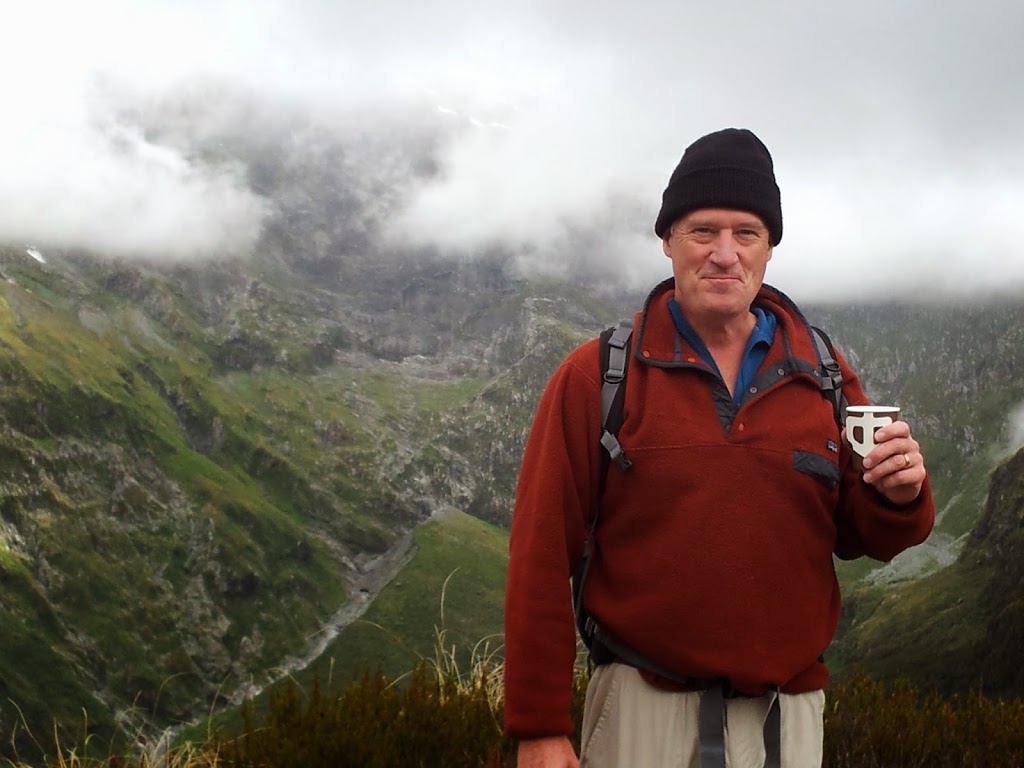
| A spot of hot tea..?….”Why, yes…” |
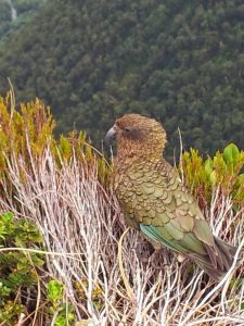 |
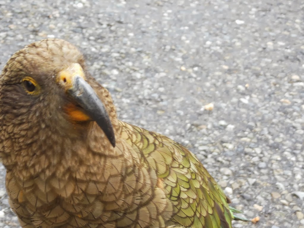
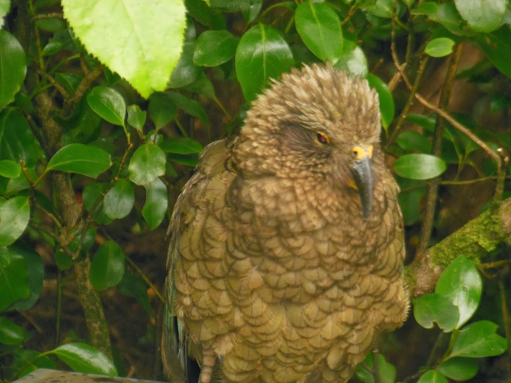
| A Kea, the world’s only true alpine parrot |
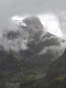 |
| An ominous cloud break; the way down as well… |
 |
| Above the monument, “12 second drop” beyond |
 |
| Heading for the Pass Hut, out of the wind… |
 |
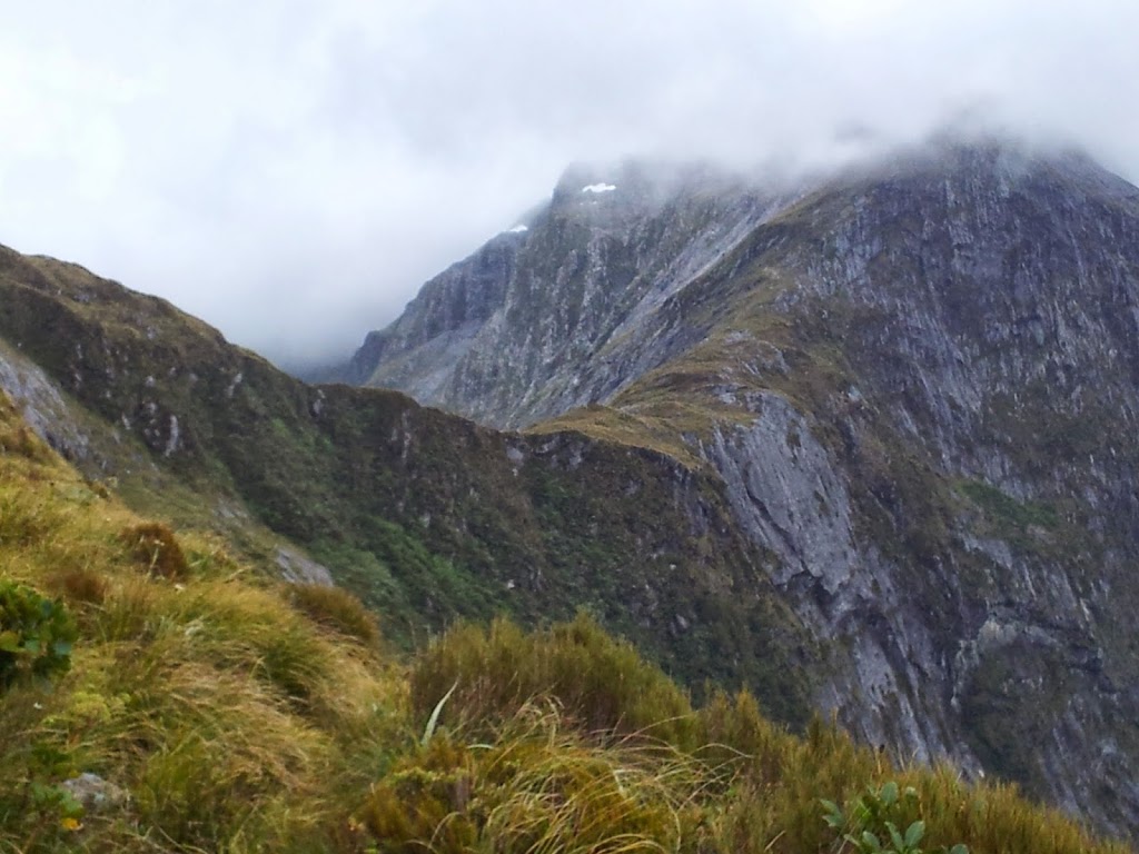
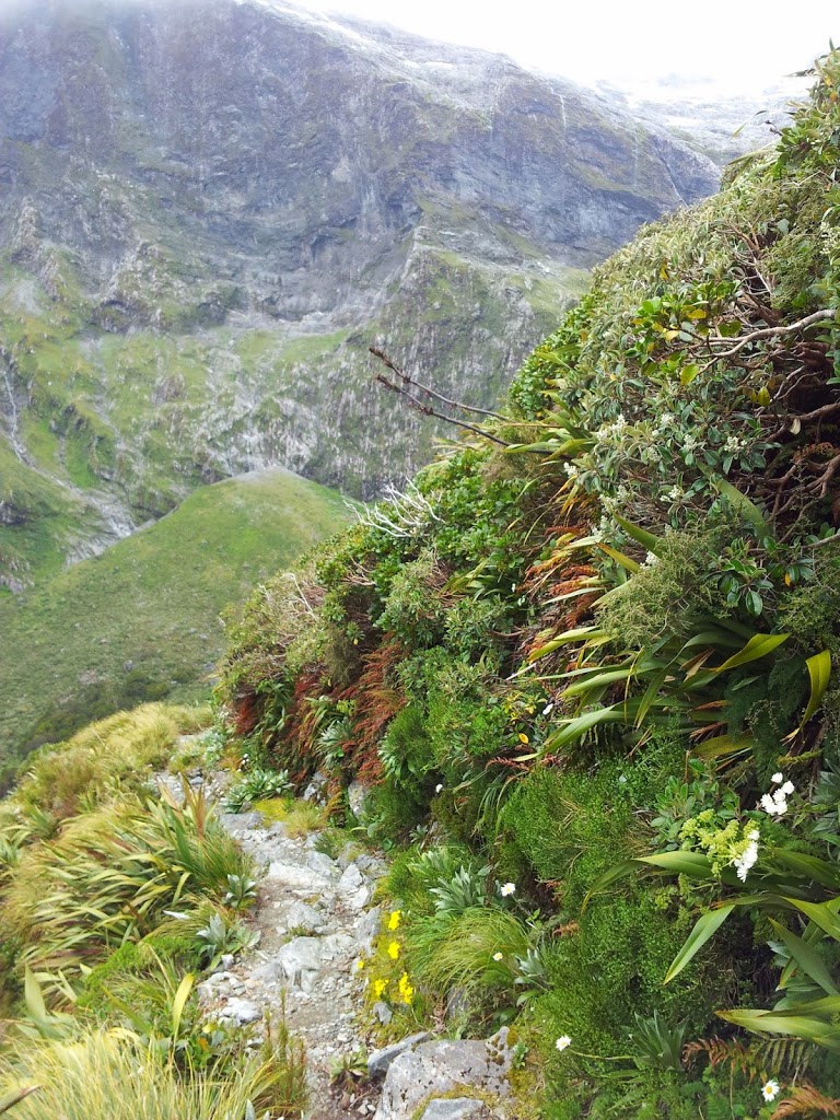
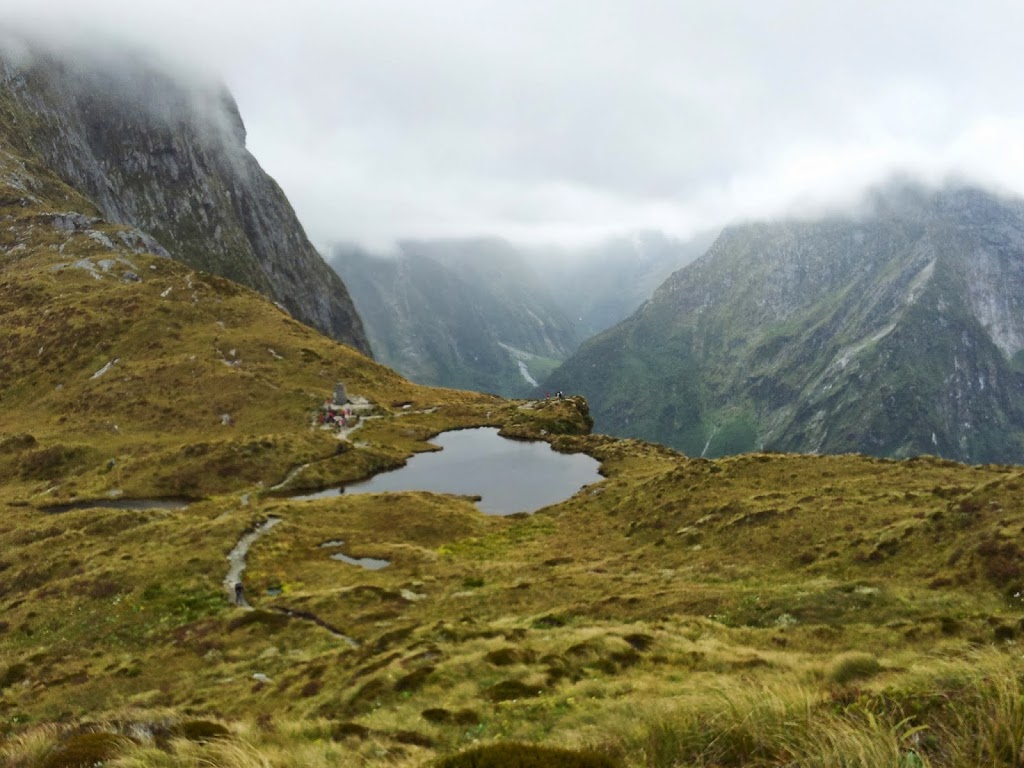
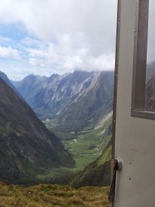
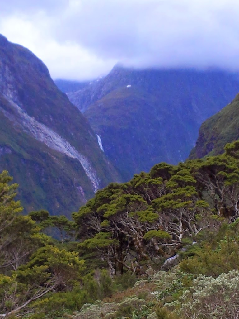
| High above the Clinton Valley |
 |
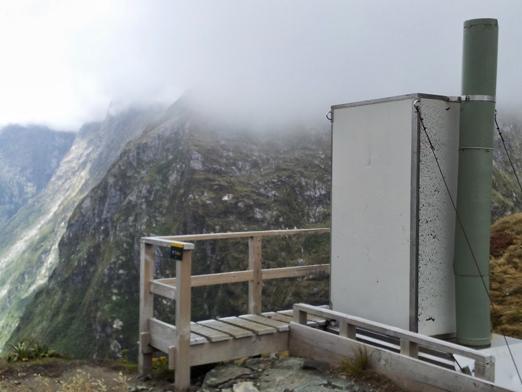
| The famous ” Loo with a view” Listed in the top ten in the world! |
 |
| Lives up to it’s reputation…! |
 |
| Keas are very bold and cheeky. Watch your lunch, and fingers! |
 |
| Lunch and warmth inside the Pass Hut |
 |
| The “12 second drop”, off the backside of the pass |
After making the pass, the work’s not over. For many hikers, the 3 1/2 mile, 2000+ ft down hike to Quintin Lodge is the real knee-strainer. It was long and painful by the end of 10 miles…
 |
| Trail down |
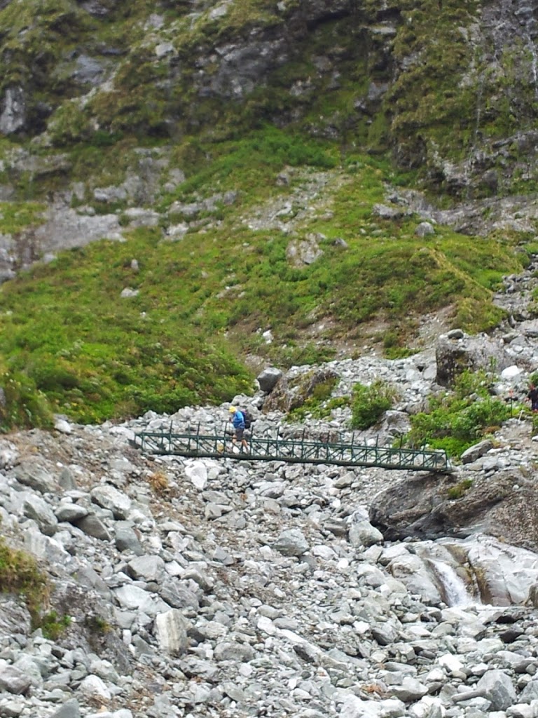 |
| A portable bridge over avalanche rubble, placed seasonally. |
 |
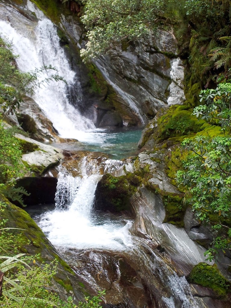
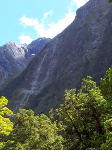
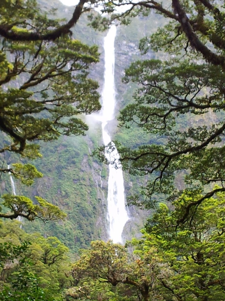
| First sighting of Sutherland Falls |
 |
| Water music all around you |
 |
| The trail follows a wonderful series of cascades |
 |
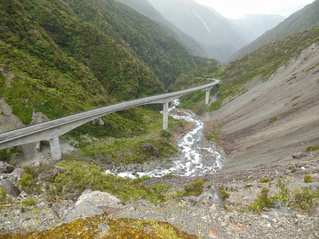
| Amazing infrastructure engineering |
 |
| Below 12 second drop, off the Pass |
 |
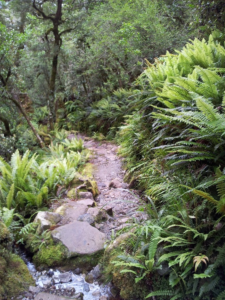
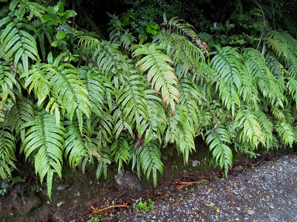
| A profusion of ferns |
 |
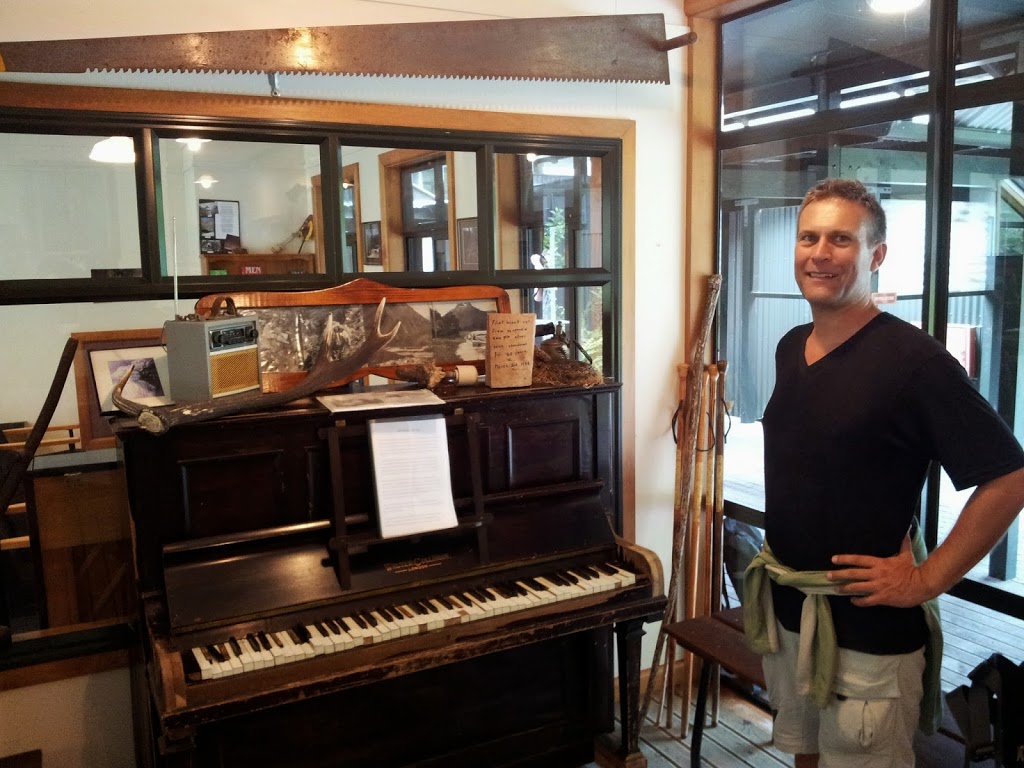
| Quintin Lodge piano carried in almost a century ago |
 |
| Bridge towards Sutherland Falls |
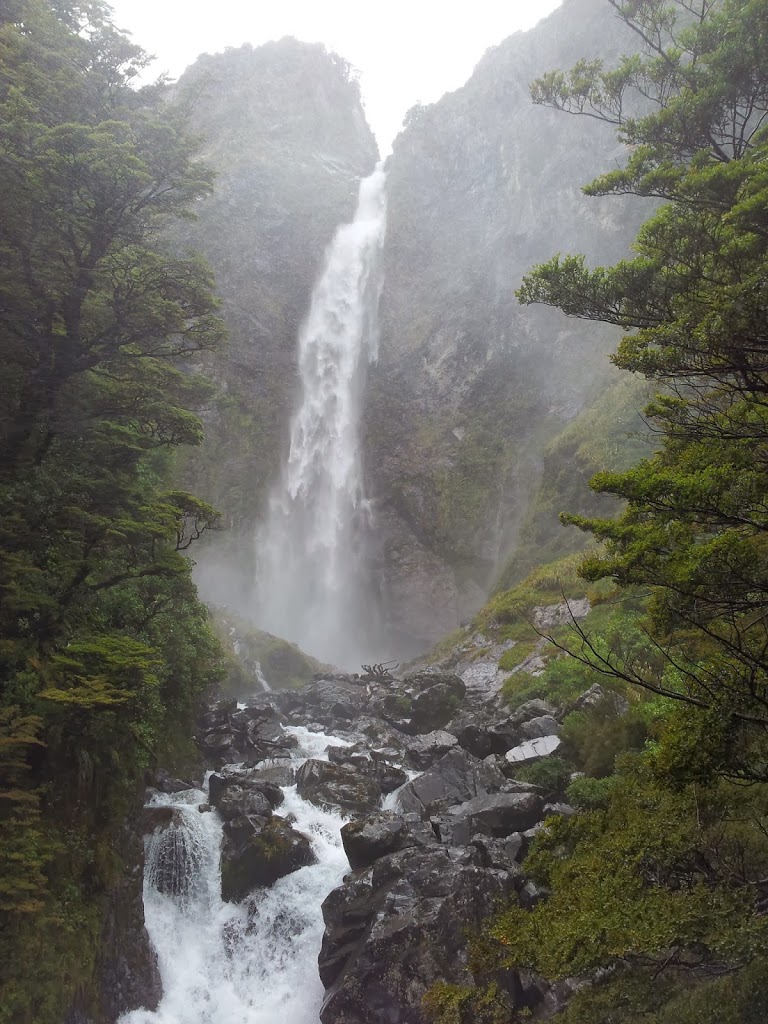
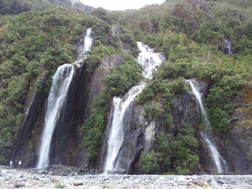
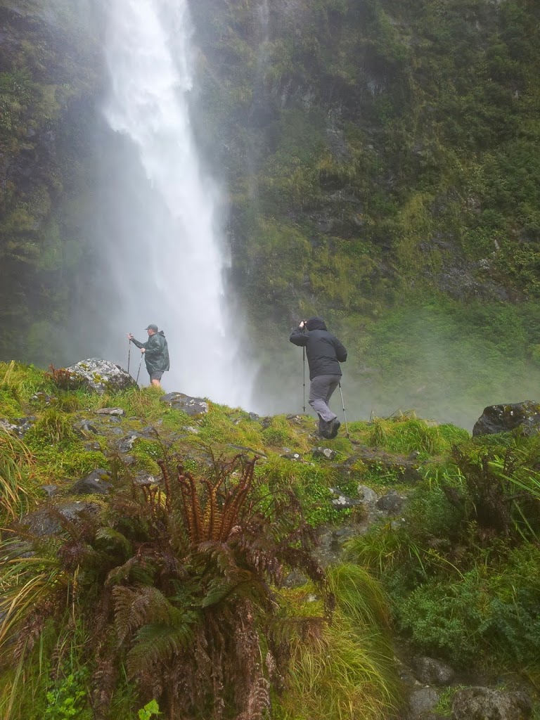
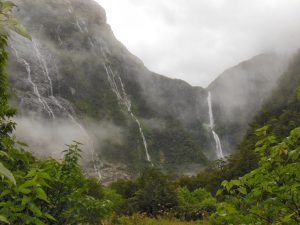
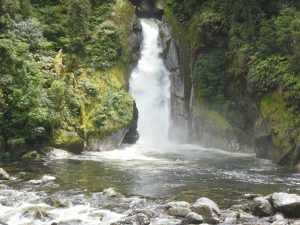
Once you get to Quintin lodge, you really just want a well-earned rest, hot shower and cold beer. However, the rest must be brief if you intend to make the 3 mile, 1 1/2 hour side trip to Sutherland Falls before dark.
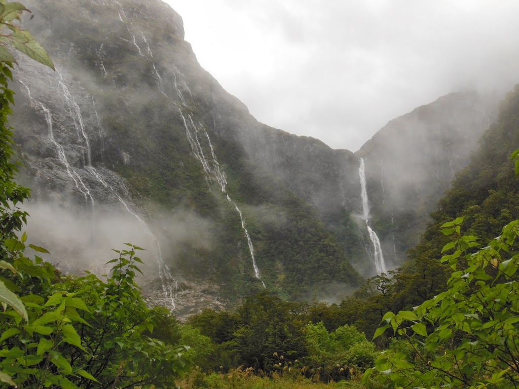
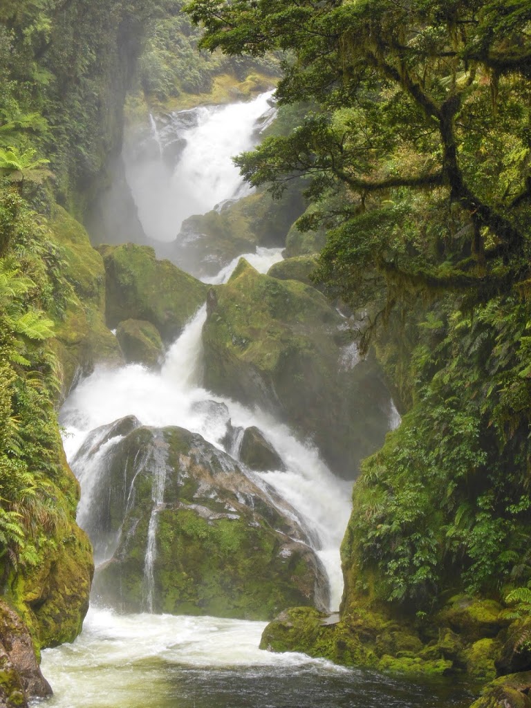
At nearly 2000 ft, it’s the world’s 5th highest waterfall and NZ’s highest. A thunderous triple cascade that overwhelms with it’s raw power, it’s definitely worth the extra effort.
 |
| Even from far off the roar is impressive, and exciting! |
 |
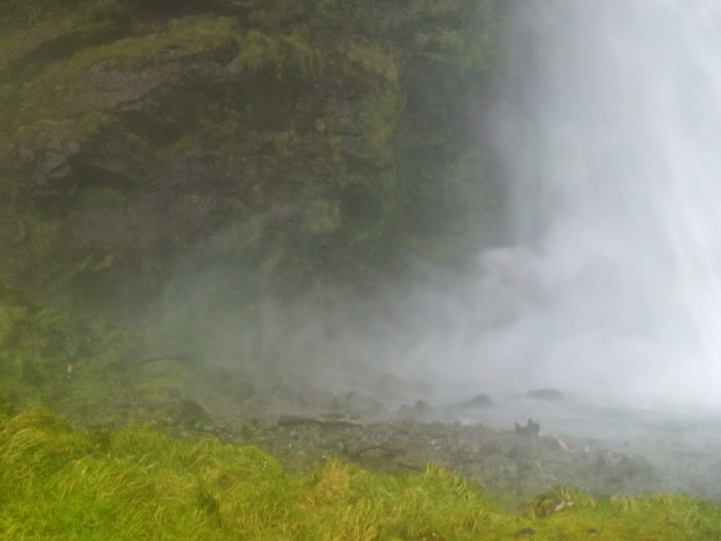
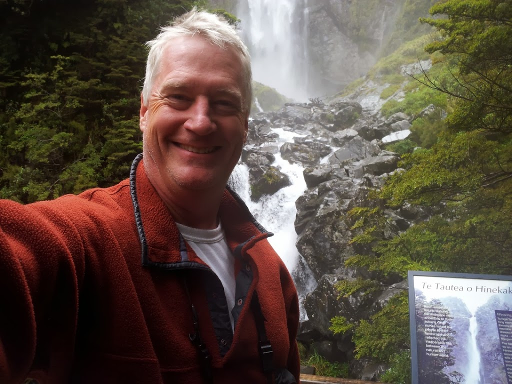
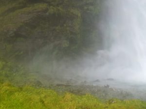
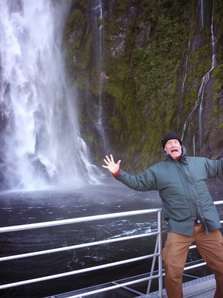
| Approaching the falls, too wet for cameras! |
Another awesome experience is to brave the forceful blast of the falls and go laterally up towards the cliff face. You can then walk behind the falls. As you approach closer, the water is blowing horizontally off the rocks in gale force, an icy, stinging spray. You stumble over mossy, soaked boulders, nearly blinded by the force. You then sneak along the cliff face and are suddenly in a relatively quiet pocket behind the thunderous cataract. Soaked to the bone, but feeling more alive than you have in a long while! Exhilarating….!
 |
| Look carefully to the far left, you can see Pete’s leg |
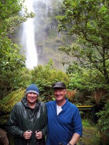 |
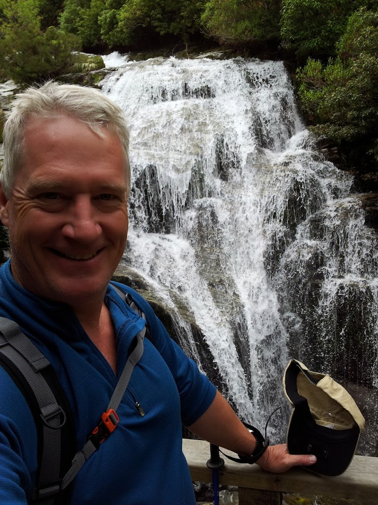
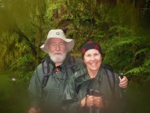
| Me and Pete after the falls soaking…Feeling very alive! |
 |
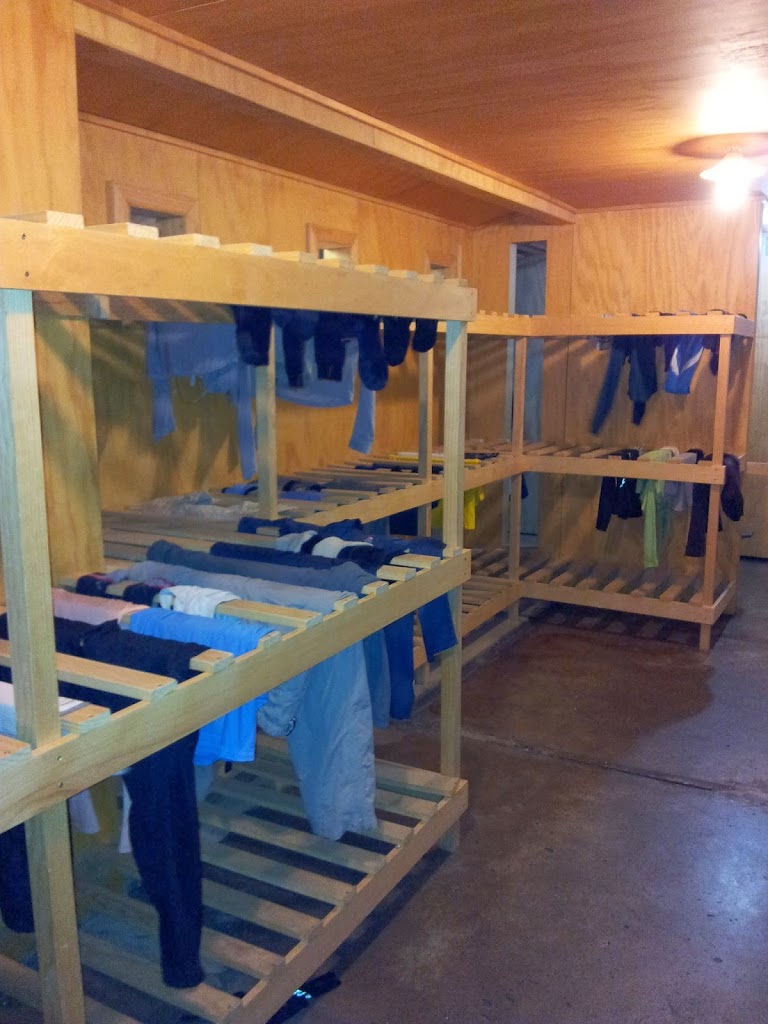
| Drying room at Quintin Lodge |
 |
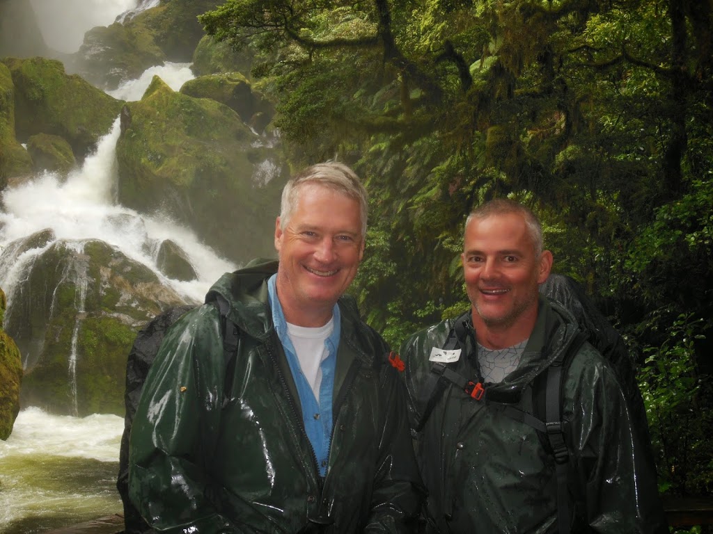
| Steve, lead guide, at Quintin Lodge |
 |
| The evening’s entertainment begins |
 |
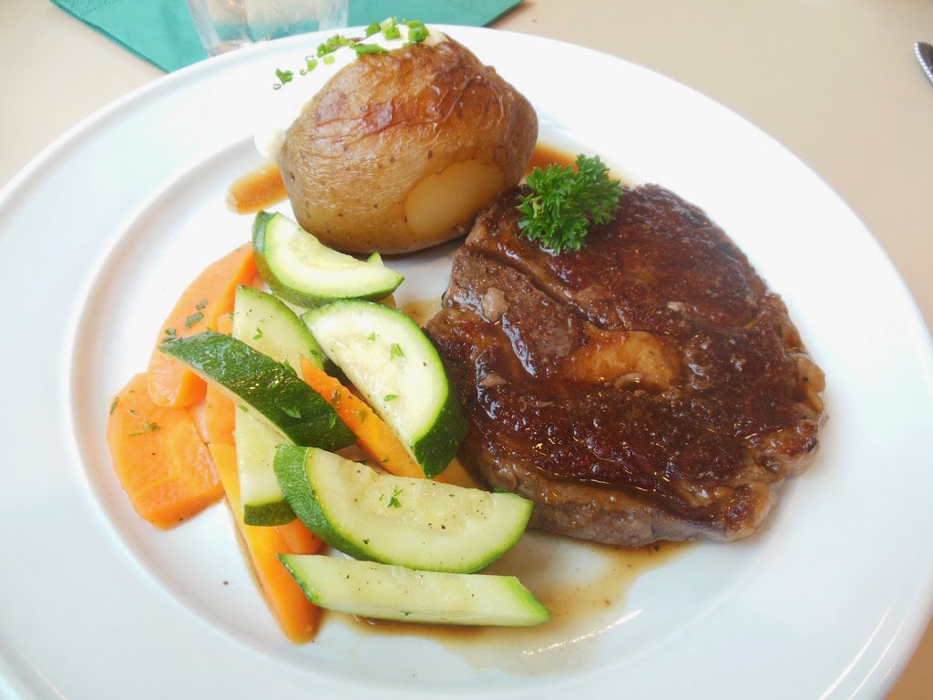
| A well-earned eye-filet….Oh, yes…. |
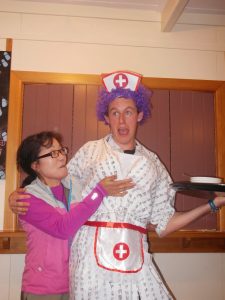 |
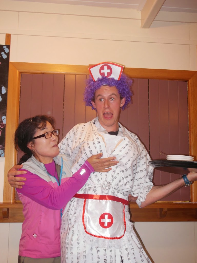
| What happens in NZ, stays in NZ…Quintin hijinks…! |
 |
| Packing lunches for day #4 |
 |
| Evening storm moving in. But the pass is behind us… |
 |
| Getting ready for day #4 |
 |
| Morning waterfalls above Quintin Lodge |
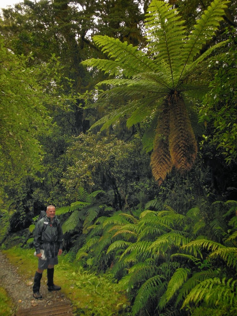 |
| Wayne and a Tree Fern, Jurassic Park in real life.. |
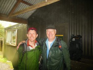 |
| Two Concord-Carlisle (Mass) Grads, Peter 1989, Me 1975. Small world! |
It finally rained on the 4th day. But we’d been very fortunate. The guides remarked that in the past two 5 day hikes, they saw not one ray of sunlight over 10 days! Only 1/3 of days on the pass has any visibility at all. In a weird way, having the rain falling gave the track an entirely different feel. The rivulets and creeks were all running hard, filling the air with water music from every direction. And the verdant, varied greens of the foliage glistened with a magical iridescence. Completed the rainforest effect, you might say…
 |
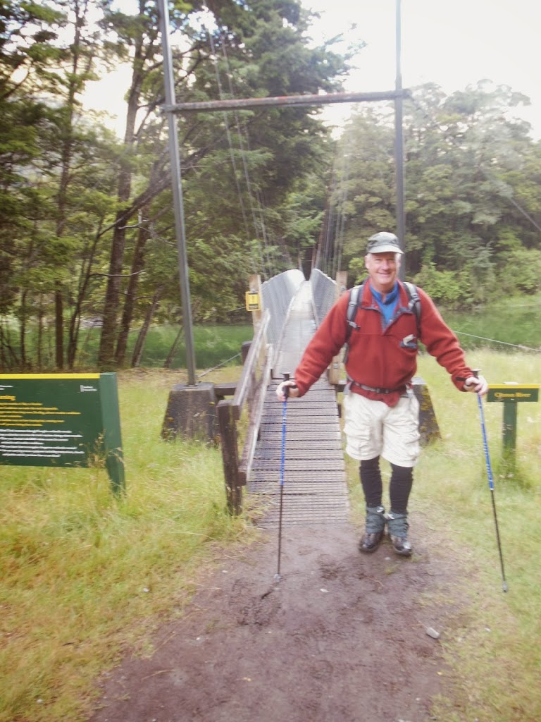
| Long swing bridge over the Arthur River |
|
|
|
|
|
 |
| Camera’s getting pretty soggy |
Day #4 is a long one, 13.5 miles, but you are over the pass and on the long slog out to Sandfly Point and the ferry to Milford Sound village. The miles and hours pass as you get into the rhythm of the trail.
 |
| A long green tunnel |
 |
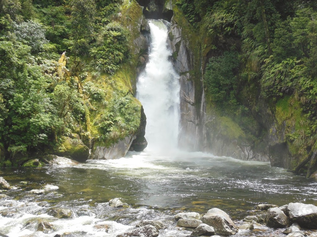
| Iconic Mackay Falls, a scene from a thousand calenders, but worthy! |
 |
| Trail buds, Wayne and me at Mackay Falls |
 |
| Trail cut into the cliff by prisoners in the 1890s |
 |
| Giants Gate Falls |
 |
| Sensing victory selfie |
 |
| Trail now broad, flat, open….Close…! |
 |
| Sandfly Point shelter! |
 |
| Reaching the finish line, and not even a blister! |
 |
| A feeling of real accomplishment! |
 |
| Waiting for pickup |
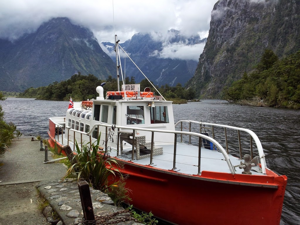 |
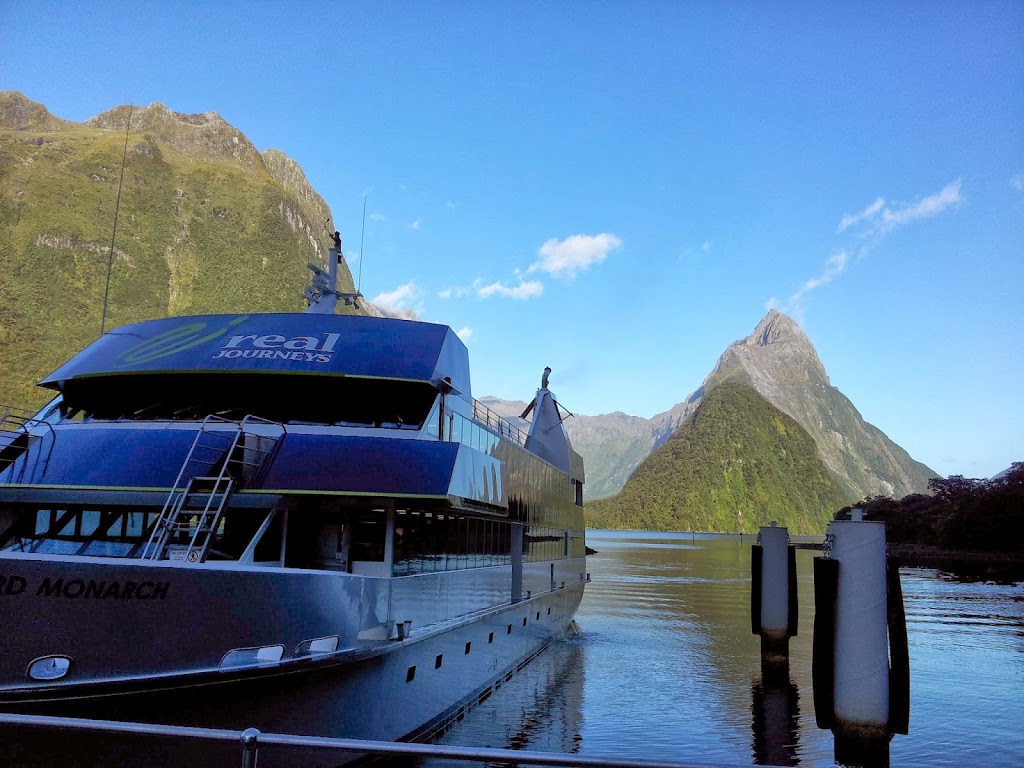
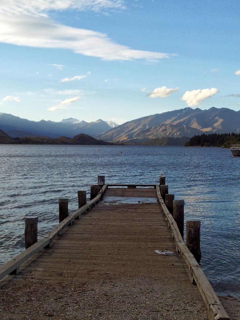
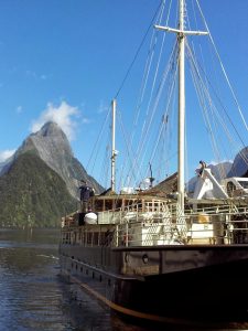
| Milford Sound Ferry |
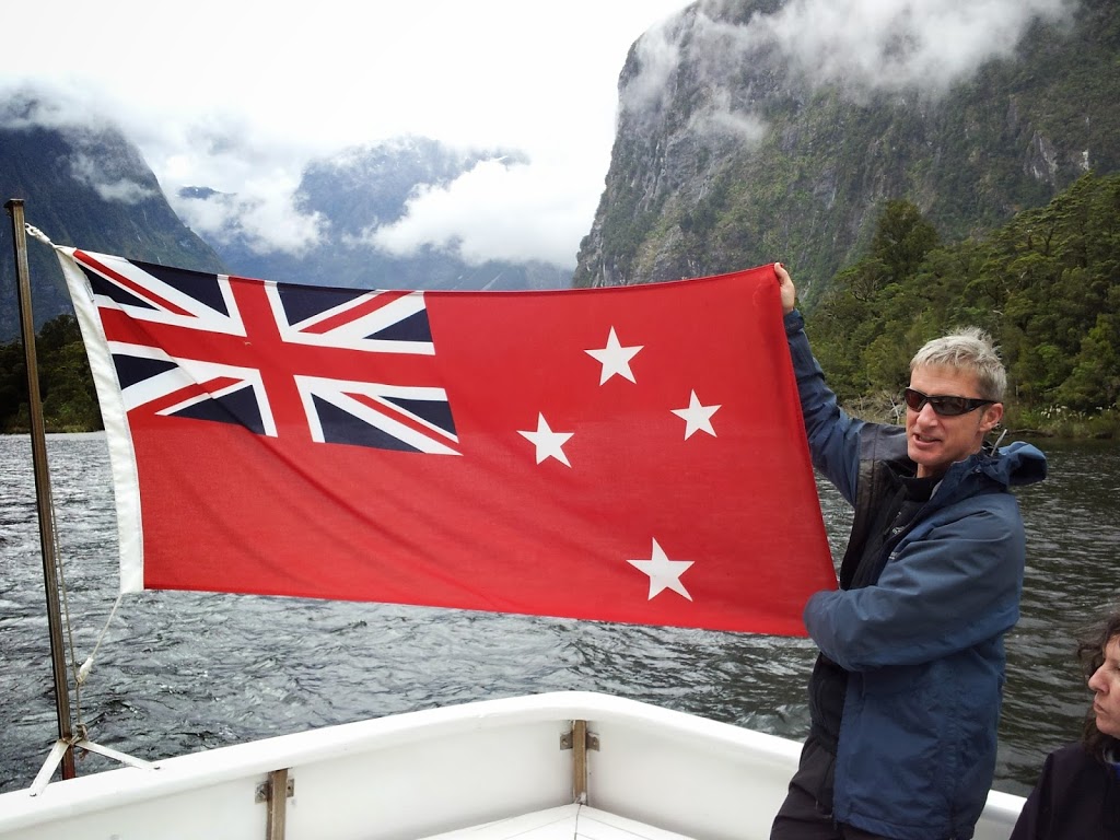 |
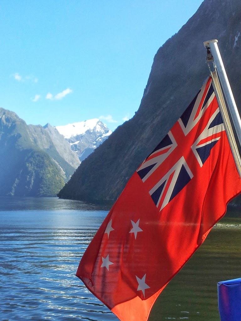
| New Zealand nautical colors |
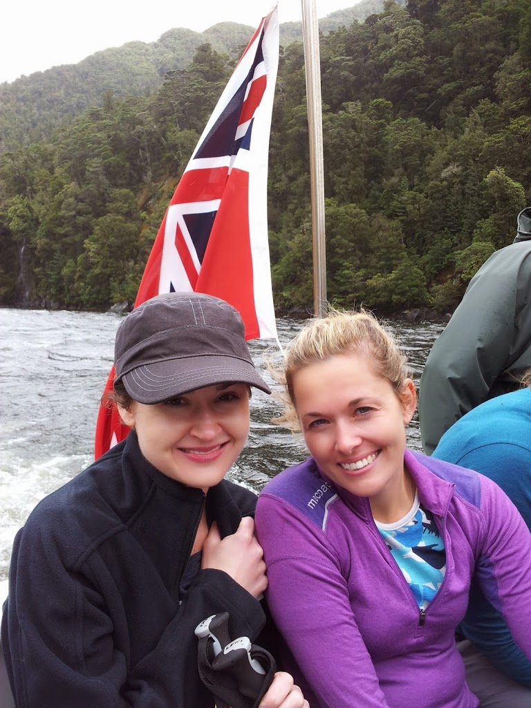 |
| Buddies celebrating their experience |
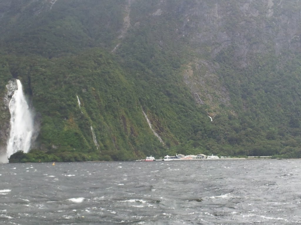 |
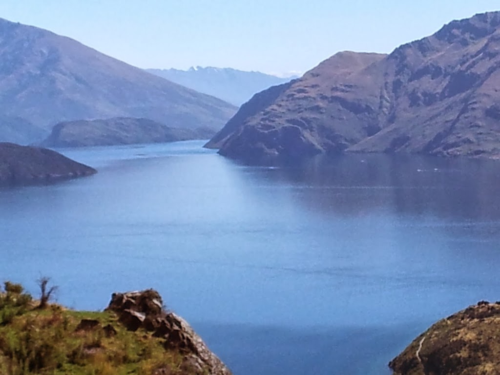
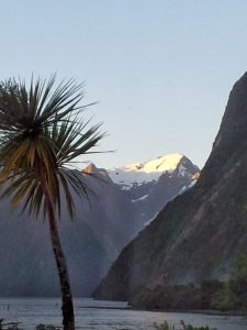
| Milford Sound, our destination |
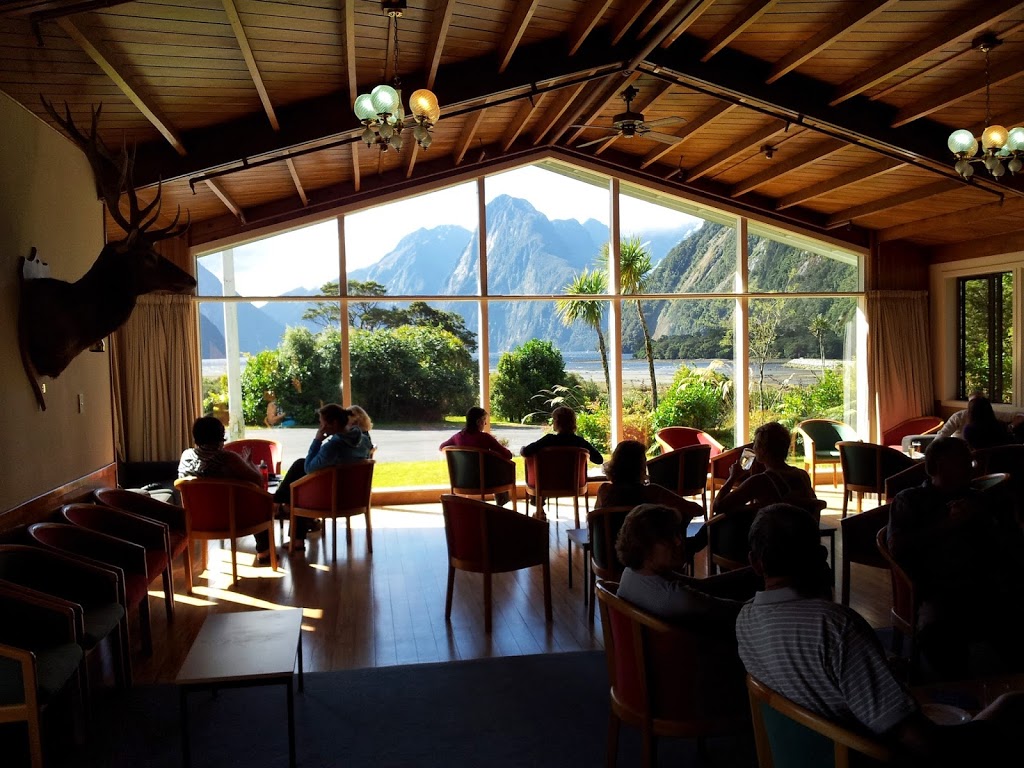 |
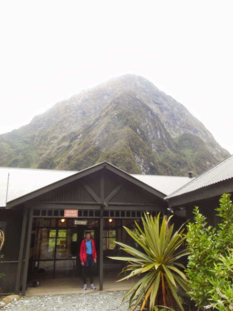
| Mitre Peak Lodge |
 |
| A well-earned lambchop! |
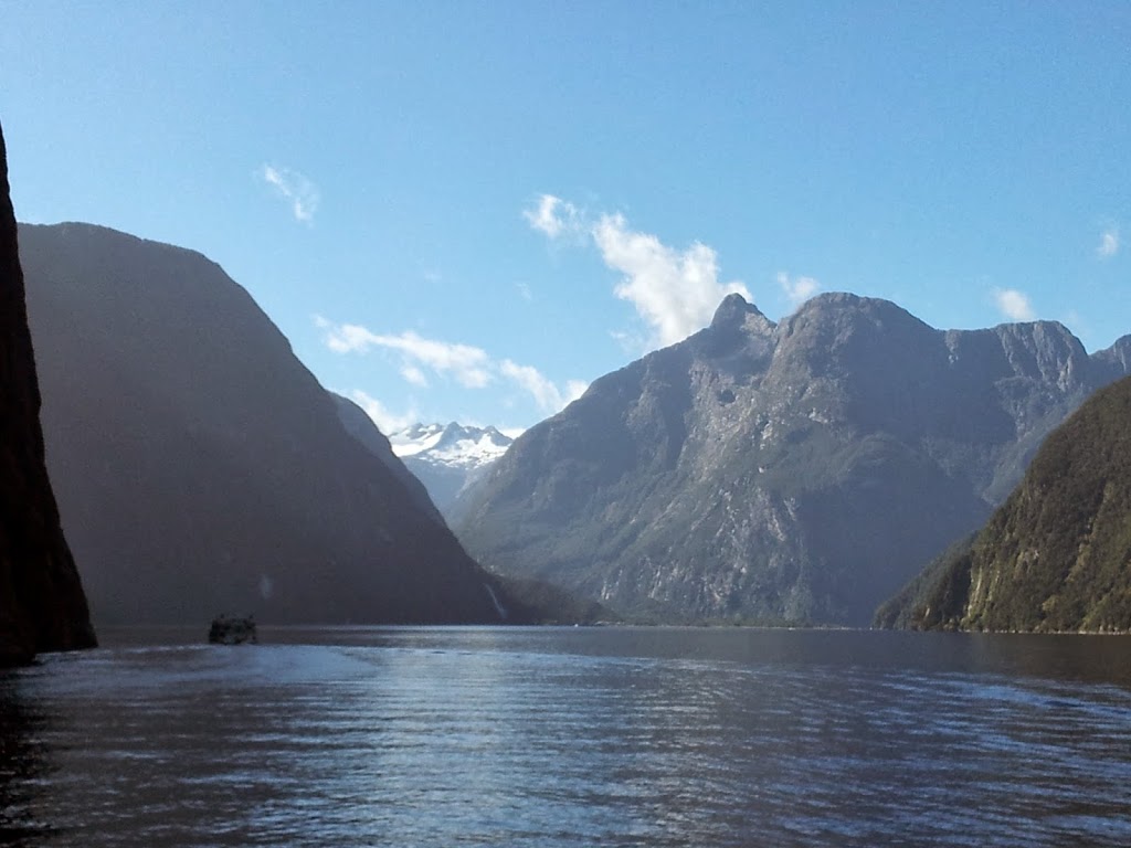
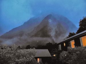
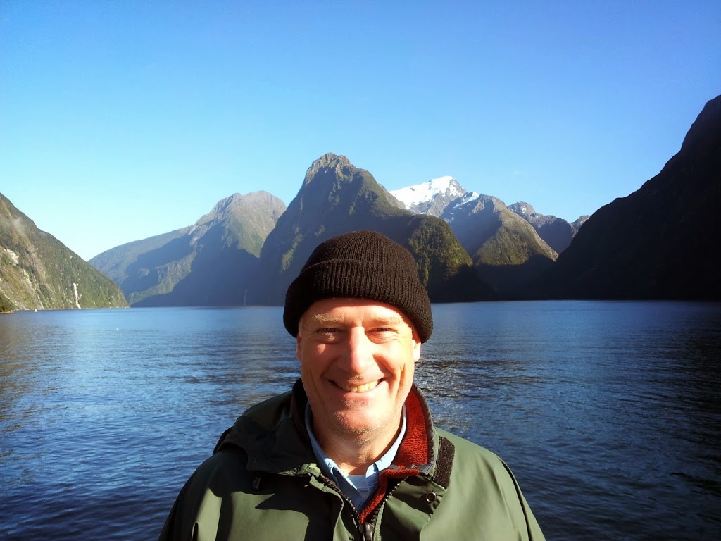
And then amazingly, the ceiling began to lift again towards evening; and we were treated to the sublime Grand Finale of the stunning Mitre Peak. This is a view that many travel great distances to see, and are often denied; due to the persistant cloud cover….Lucky folks indeed…!
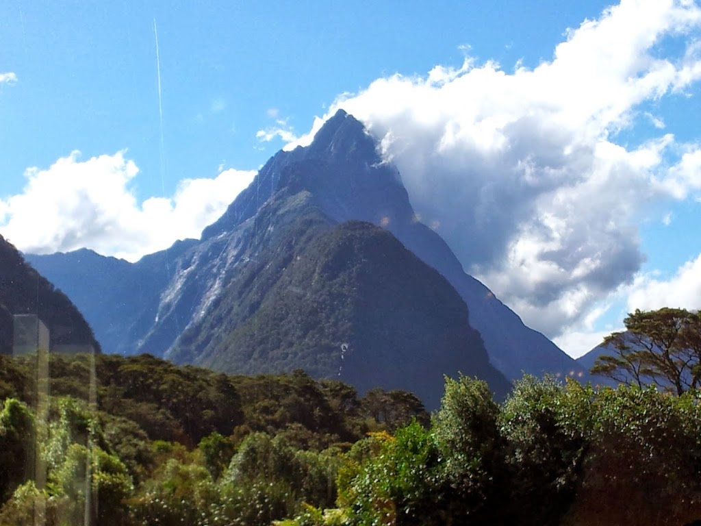 |
| Mitre Peak from the lodge |
 |
| Feeling the Pinot…or something… |
 |
| Epic way to end the hike… |
 |
| Our guides; Steve, Adie, Amanda and Andrew |
The evening finished off with a really funny awards ceremony and talent show, liberally lubricated with adult beverages, now that we were all safely off the track. Only then did we discover that a quiet, unassuming Japanese gentleman was the oldest person in our group. He did the Milford, without even a complaint, at 79 years old! Inspiring…!
 |
| Morning over Milford Sound |
 |
| Morning walk to the Ferry |
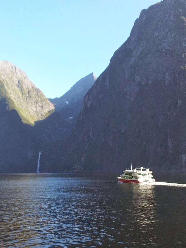
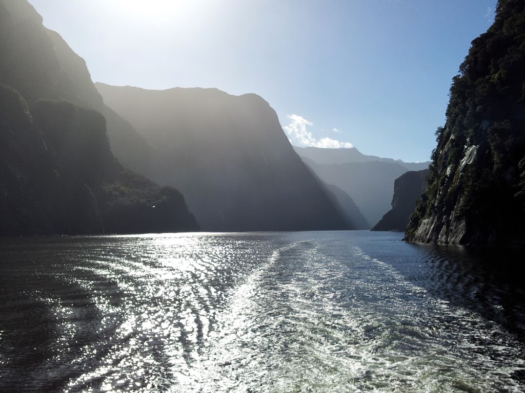
The adventure, and great weather, continued as the hike culminated in a 2 hour cruise of the fabled Milford Sound out onto the Tasman Sea. None of us could believe our good fortune with the sudden weather change. The boat pilot said it was the best day on the sound in over three months!
 |
| The perfect end to a lifelong dream |
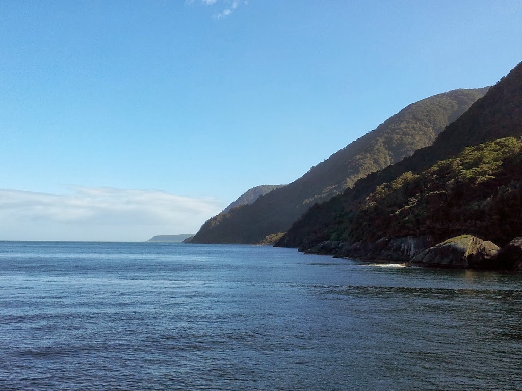 |
| Out onto the (rarely) gentle Tasman Sea |
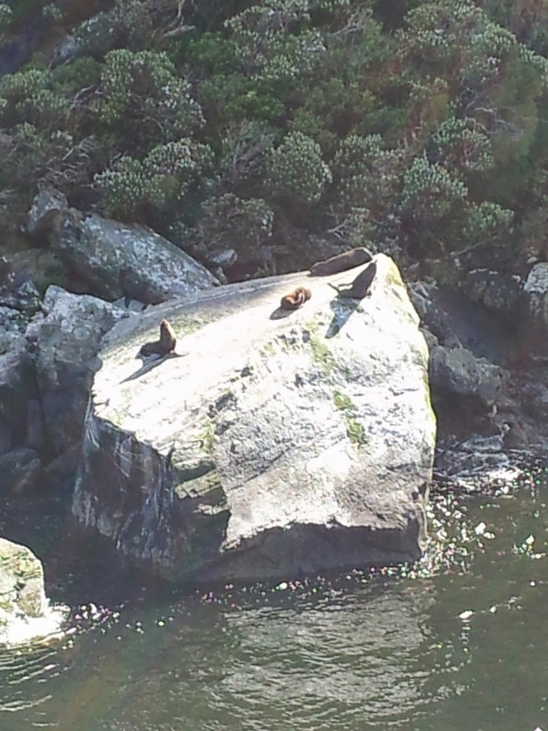 |
| Even the Fur Seals are basking |
 |
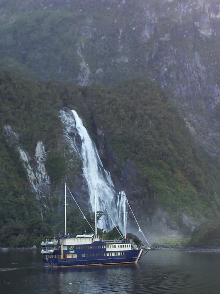
| More waterfall close encounters!! |
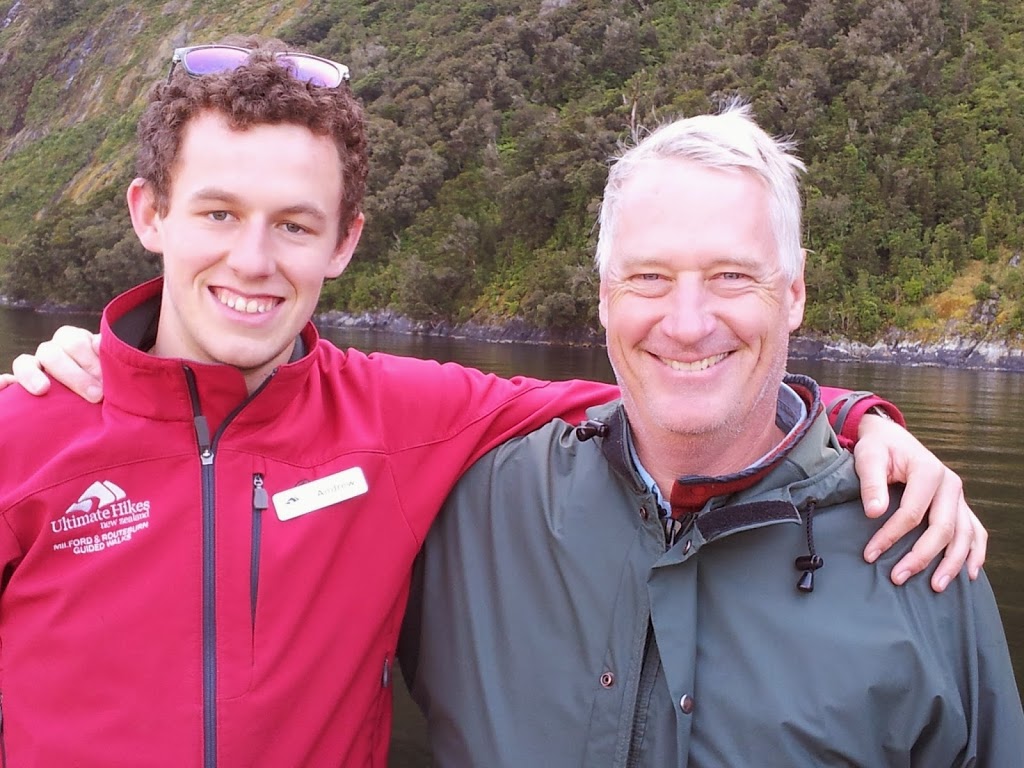 |
| Me and guide Andrew, a Sydney college student in real life |
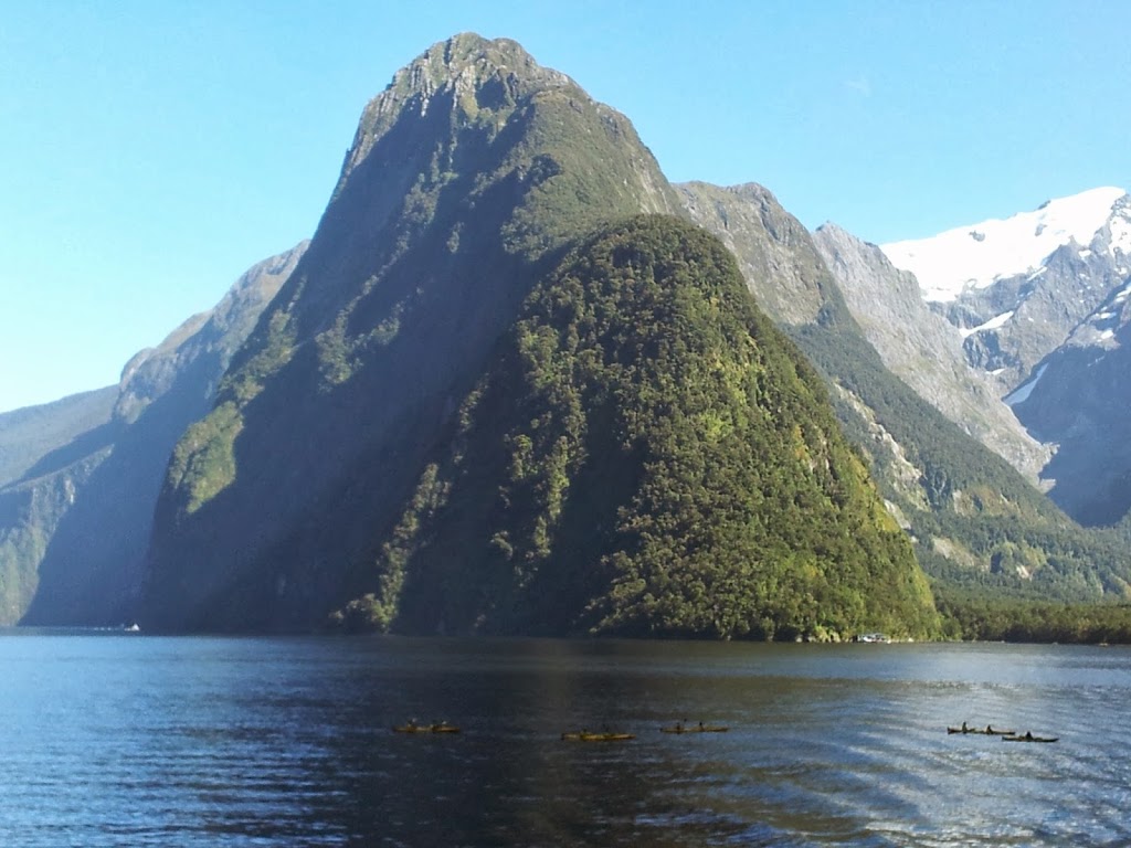 |
| Kayakers dead ahead… |
 |
| It’s a busy little harbor |
 |
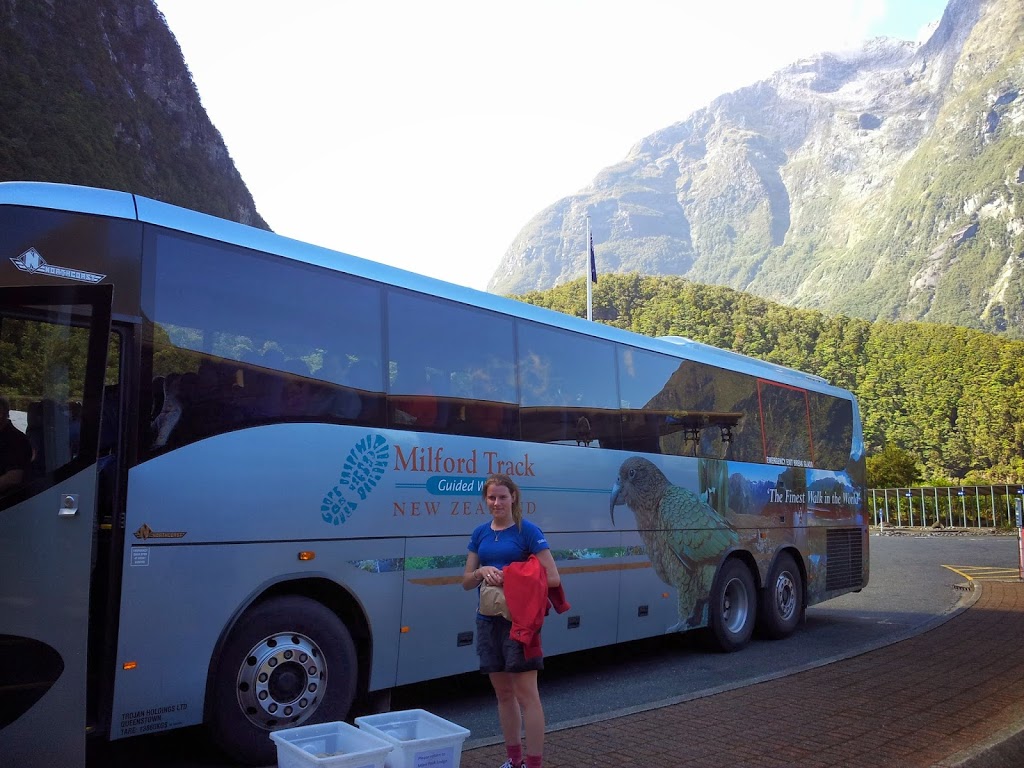
| Back on the bus to Queenstown, a very smooth operation |
 |
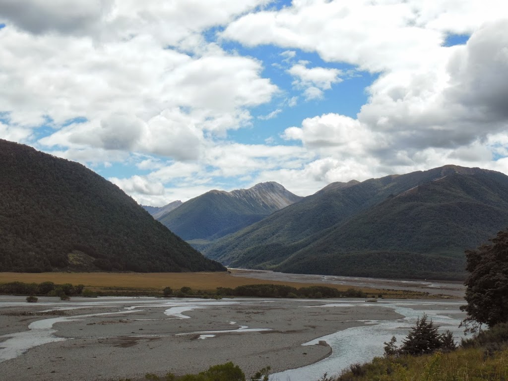
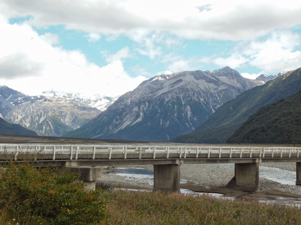
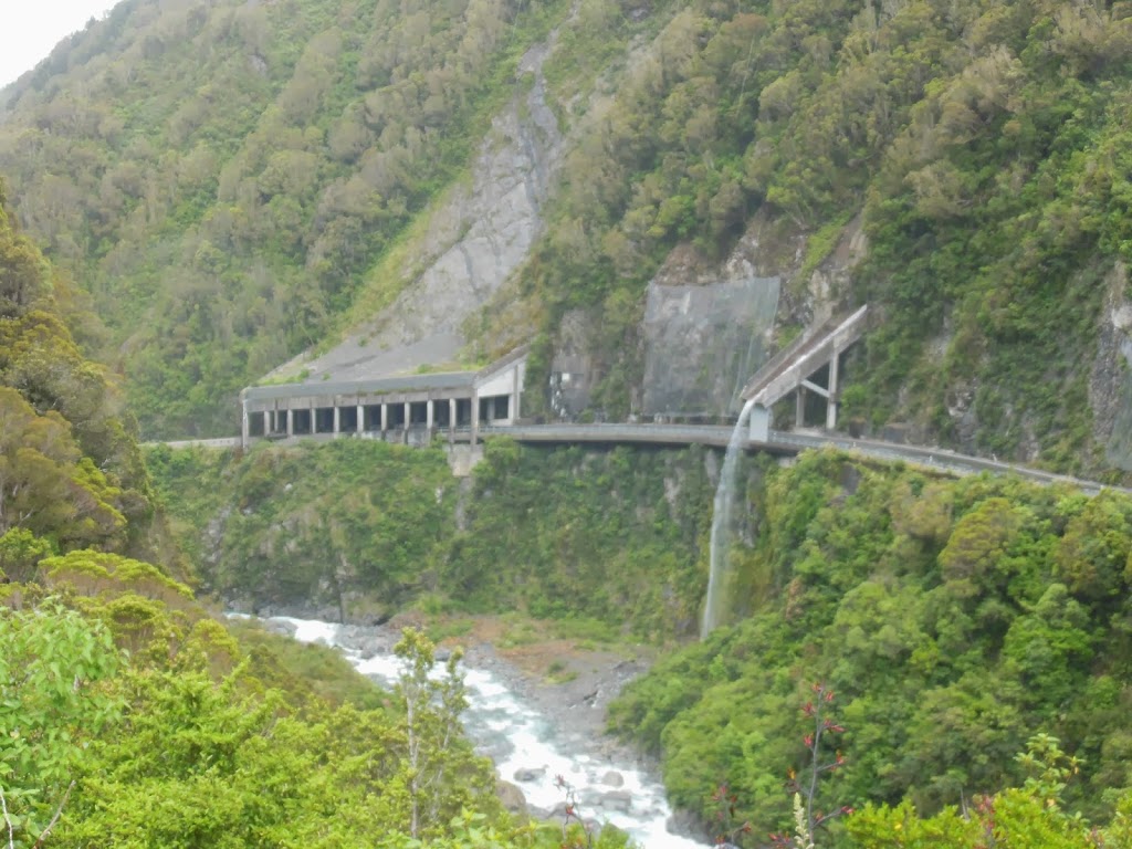
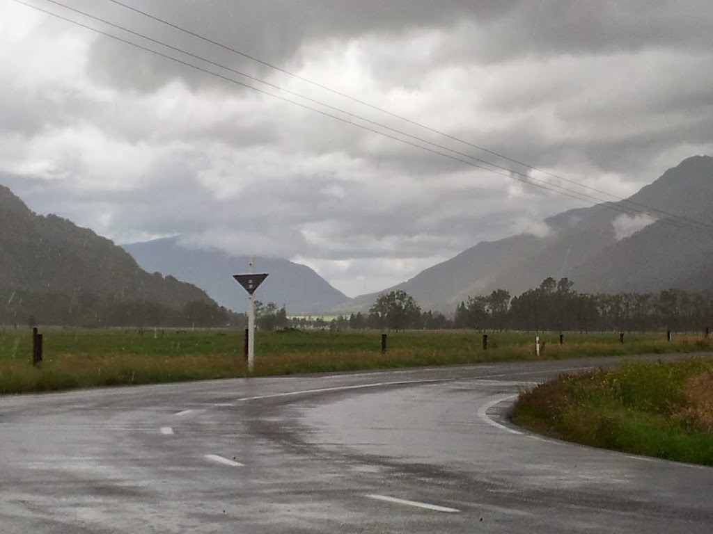
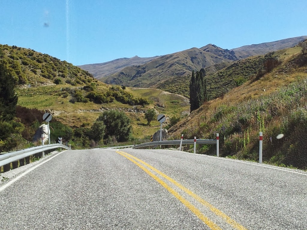
| Road scenery along the famous Milford Sound road |
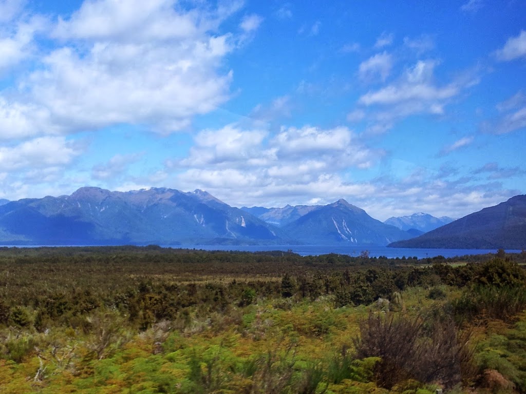 |
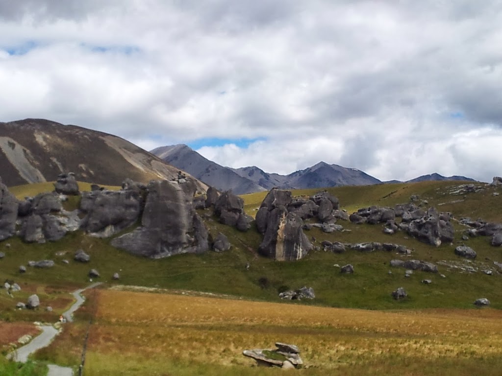
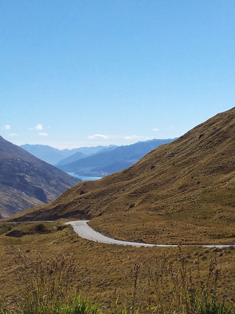
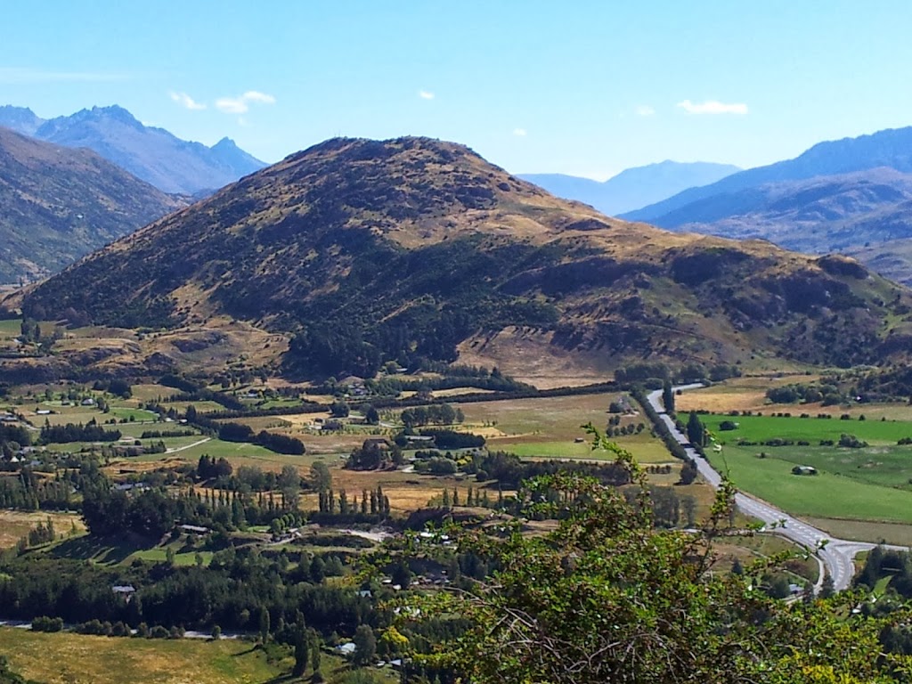
| Up in the high, dry country near Lake Te Anau |
 |
| Our guides dropped off at Te Anau ferry to start all over again! |
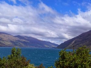 |
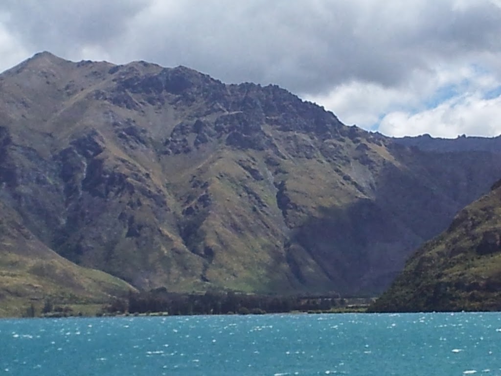
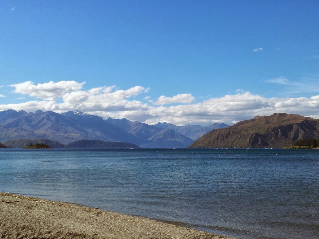
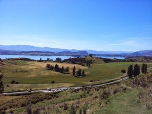
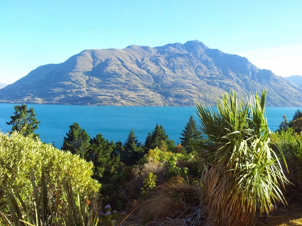
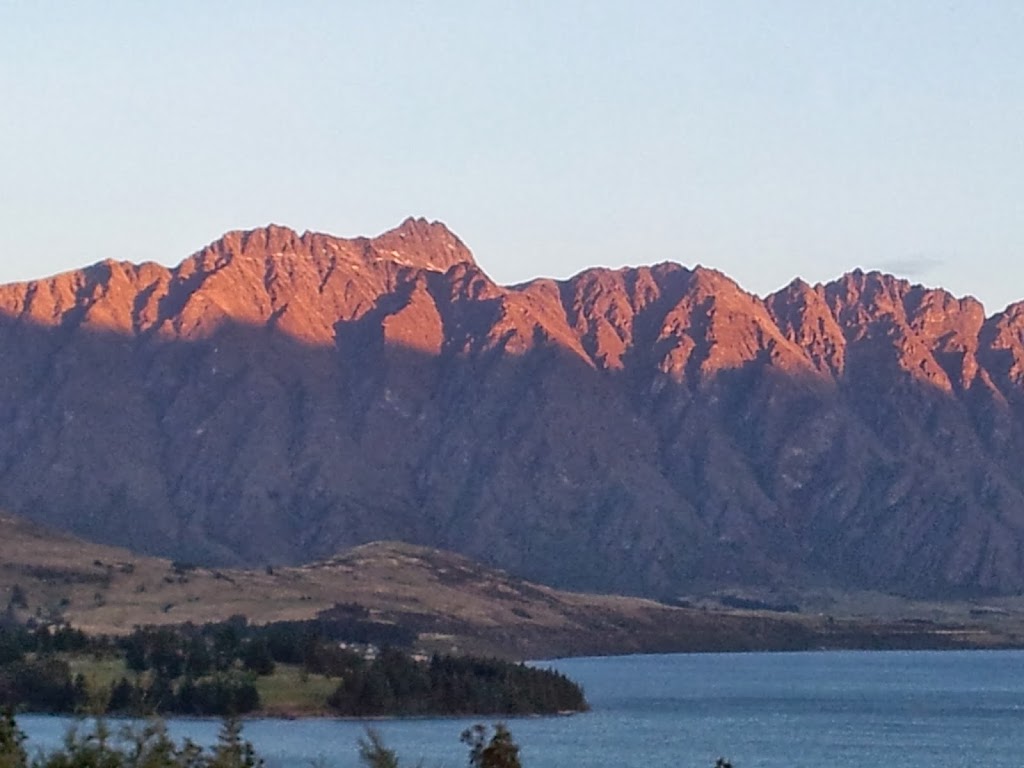
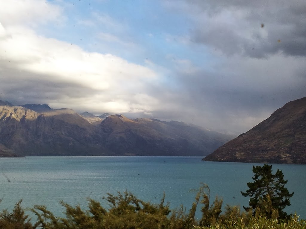
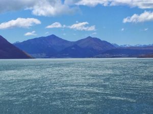
| Lake Wakatipu, approaching Queenstown |
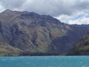 |
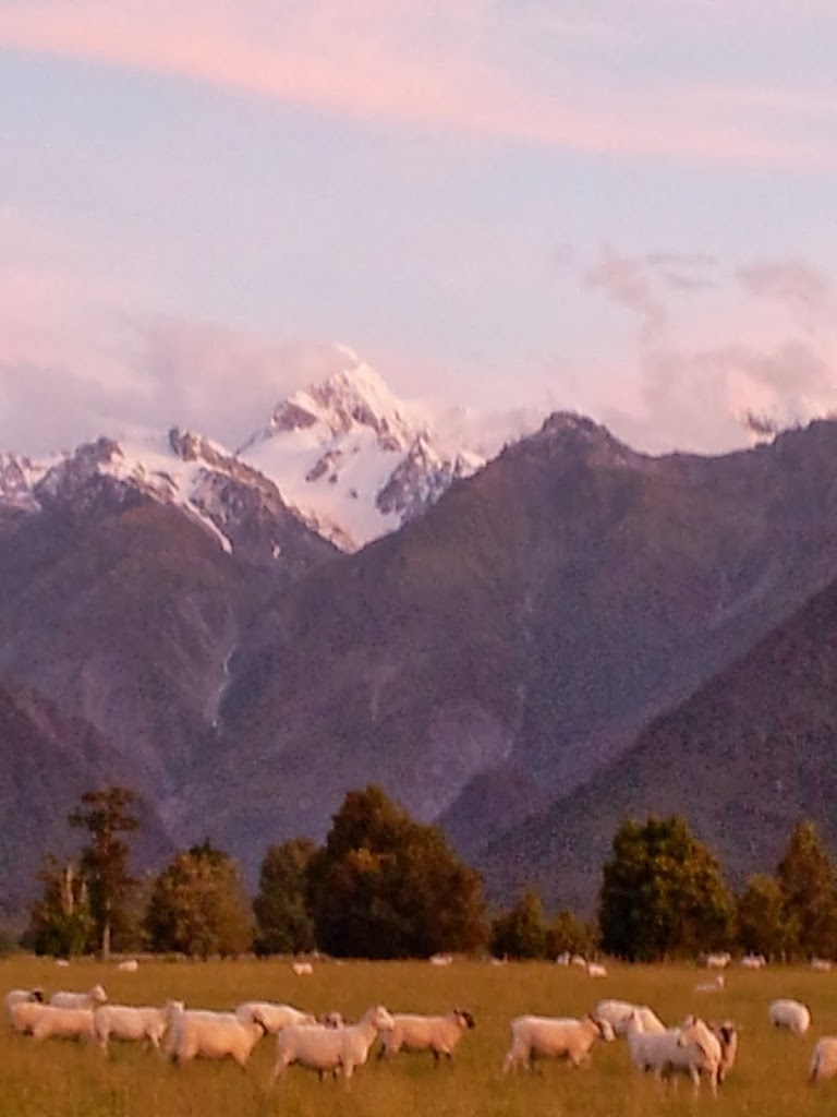
| A valley sheep station, Lake Wakatipu |
 |
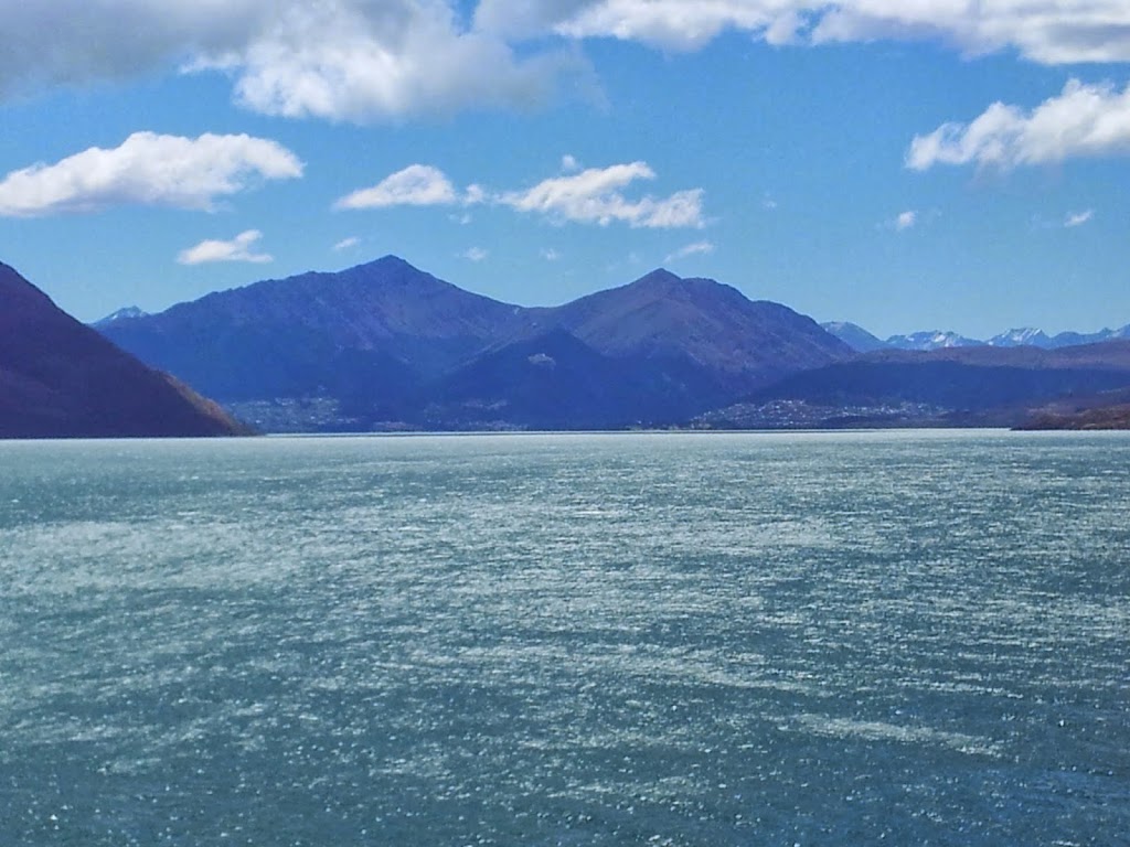
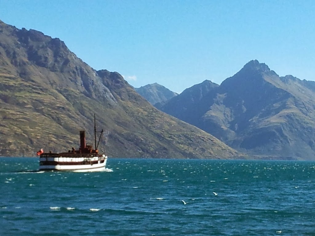
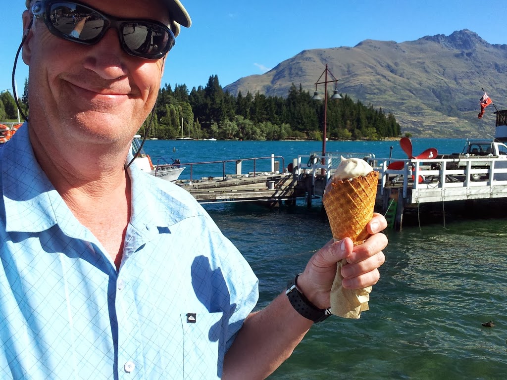
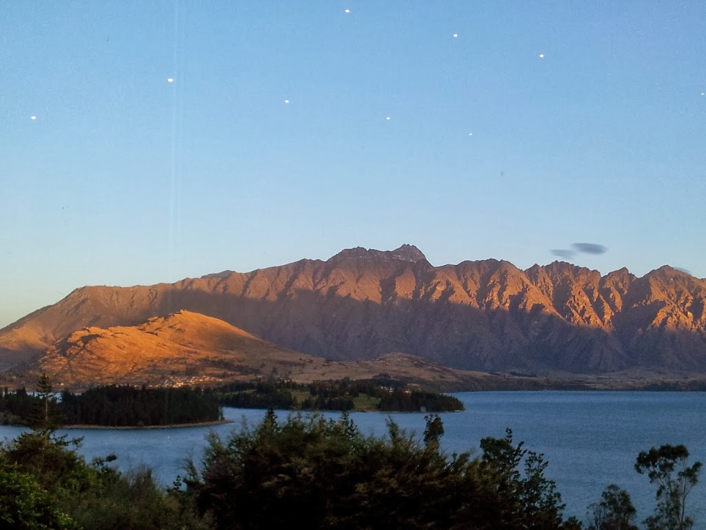
| Queenstown along the far shore |
 |
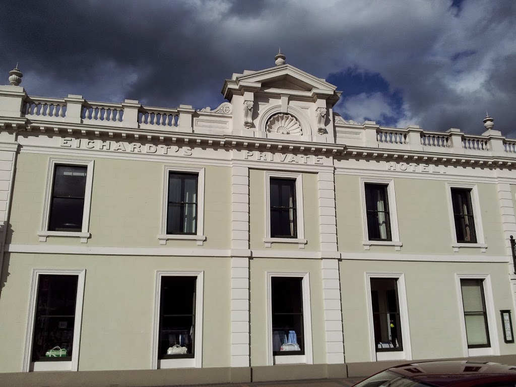
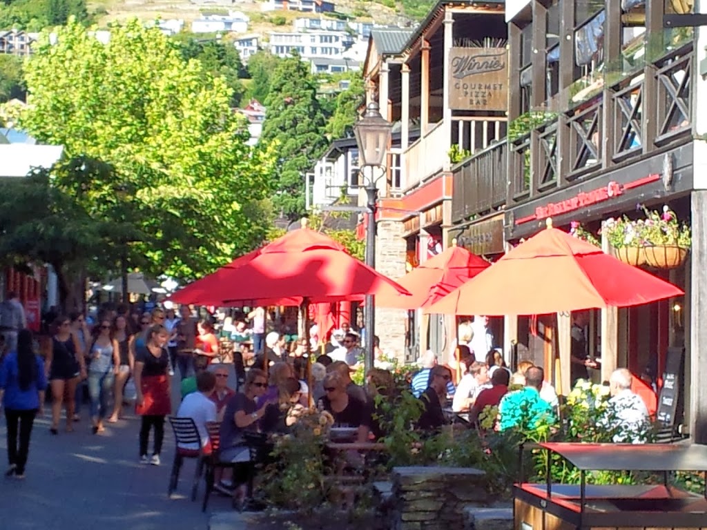
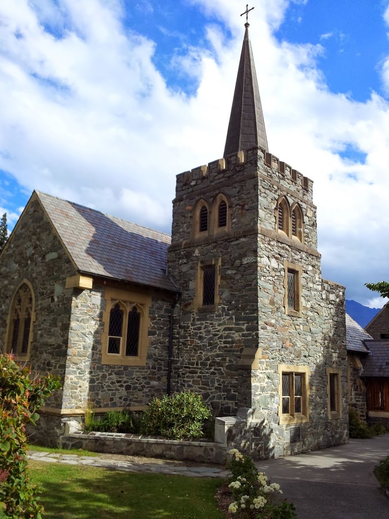
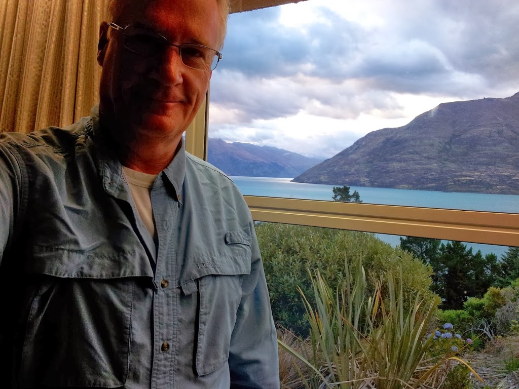
| Evening light in downtown Queenstown |
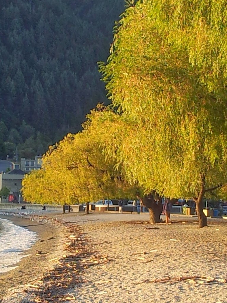
And suddenly, you are off the bus and back into reality. The past five days of cameraderie, effort and accomplishment a sweet memory, already past. Fifty people working towards a common goal for very different reasons, now scattering around the globe, most never to be seen again.
In sum, hiking the Milford Track was a life-long goal, and while not the extreme climbing challenge of my younger, wilder days, provided a challenging goal to work up to and accomplish. The trip was even better than anticipated, and I expected it would be great! Ultimate Hikes took all the logistical challenges away, and allowed for peace of mind as well as a lighter pack, which made the entire experience more enjoyable. They come highly recommended for those with a little extra cash laying around but the desire to share a challenging adventure in New Zealand. I hope to do the Routeburn 3 day alpine hike with them next year, in fact!
So thanks to them for being wonderful guides and hosts during our brief time together.
I will eventually finish “DDU Does NZ -part three “which will travel north into the Mt Cook/ Aoraki National Park and McKenzie Country Lakes District for some further alpine adventures, Kiwi-style; as well as a sailing adventure off the sublime Banks Peninsula and French heritage town of Akaroa. Until then, I hope this installmant inspires you all to dust off those old hiking boots and find that trail less travelled that still haunts your dreams..And hike it…! Happy trails! DDU